Lamarck Col to Ionian Basin
Trip Breakdown
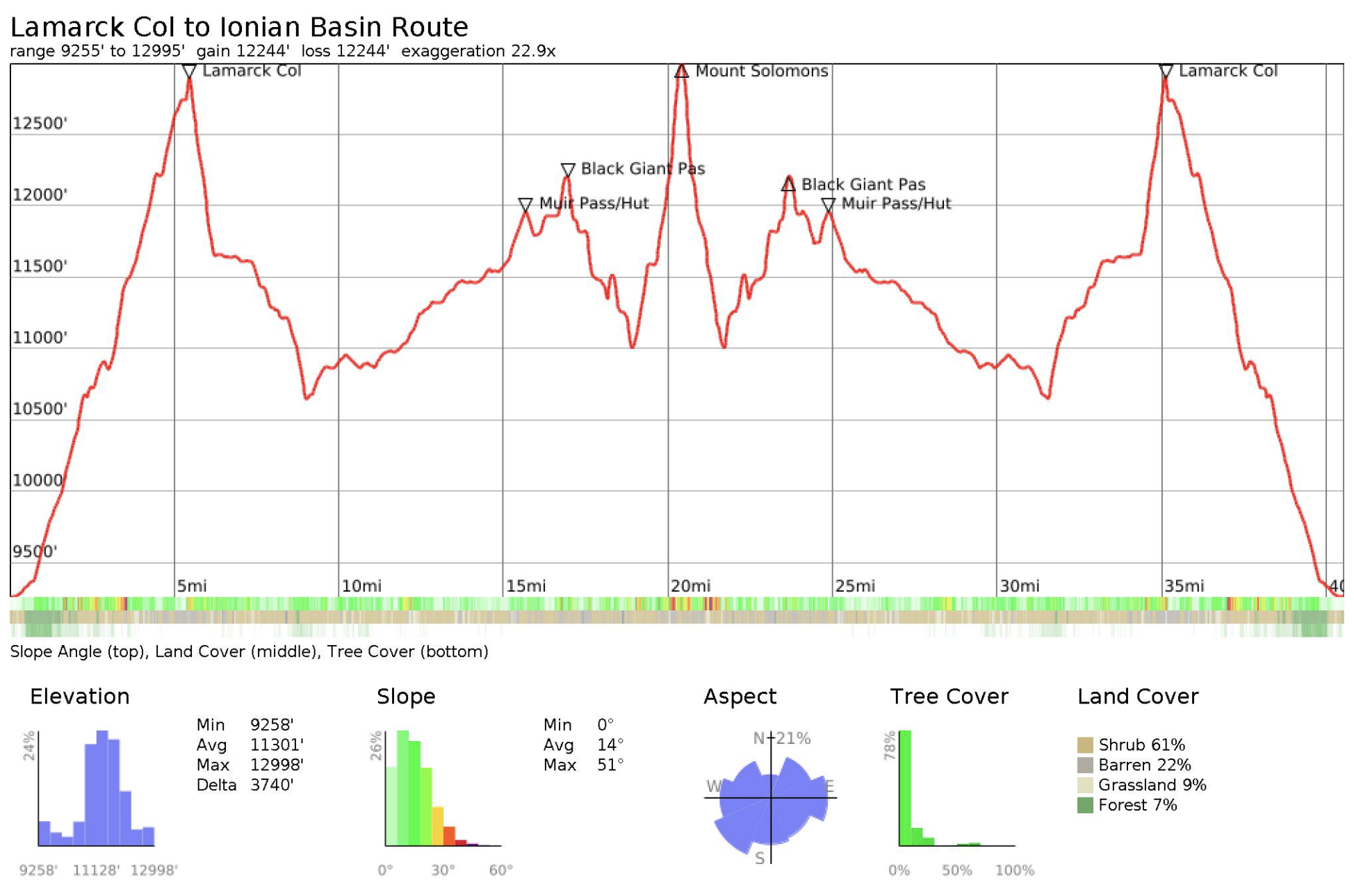
Difficulty Rating: Hard Days/Nights: 5/4 Distance: 40.55 mi
Elevation Range: 9,258' to 13,034' Total Elevation Gain/Loss: +12,246'/-12,246'
Time of Year: 4th of July weekend 2026 Snowpack: 33% (Southern Sierra April 1 average)
The Good: Insane views; bluebird days; barely any mosquitoes
The Bad: Altitude headaches; Sun hoodie hungry marmots
Marmot sightings: 30+
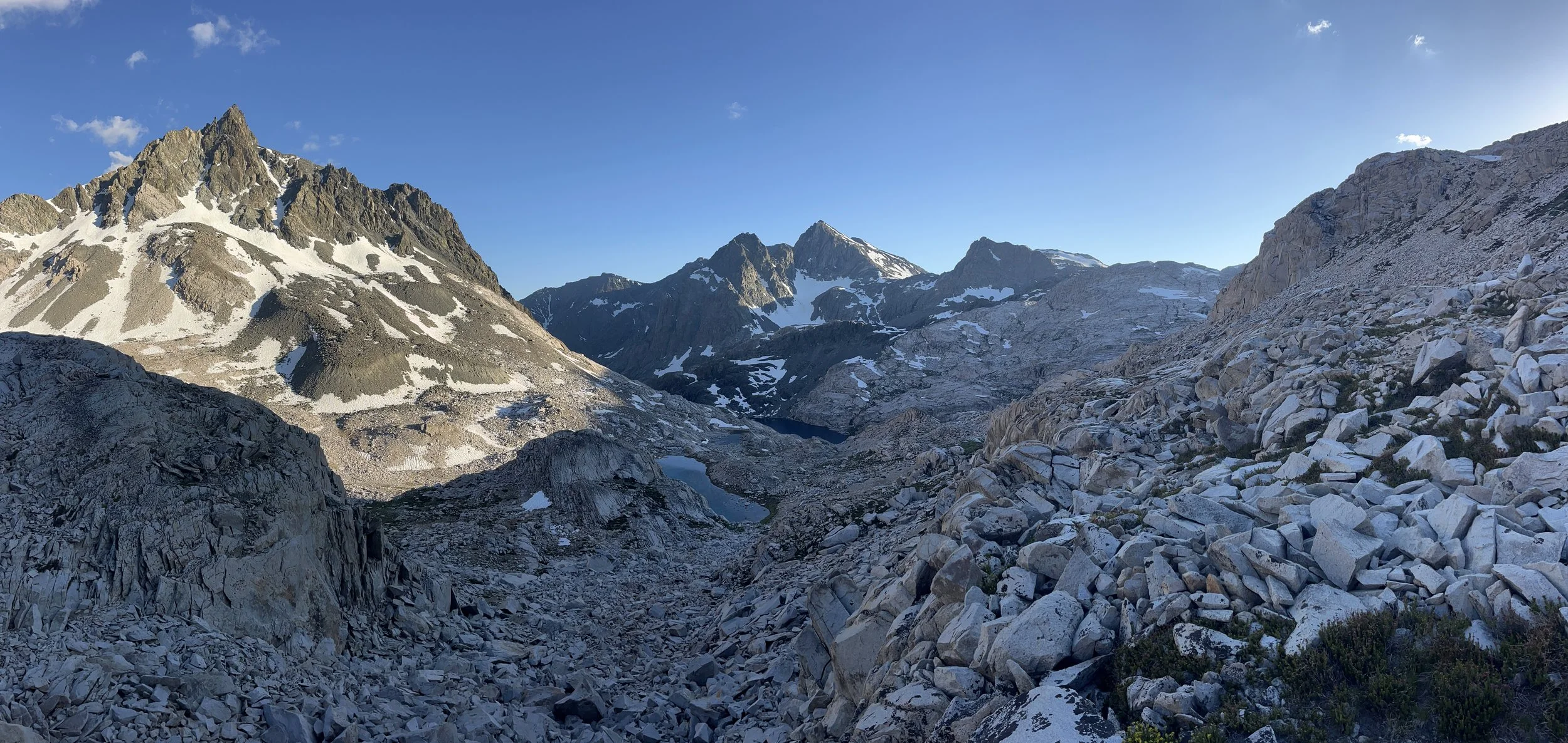
Looking southwest down Ionian Basin.
A Brief Trail Preview
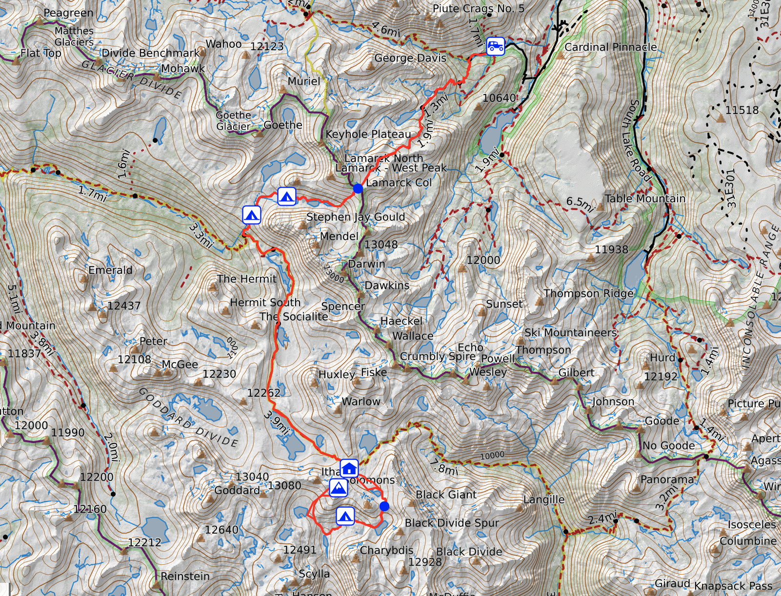
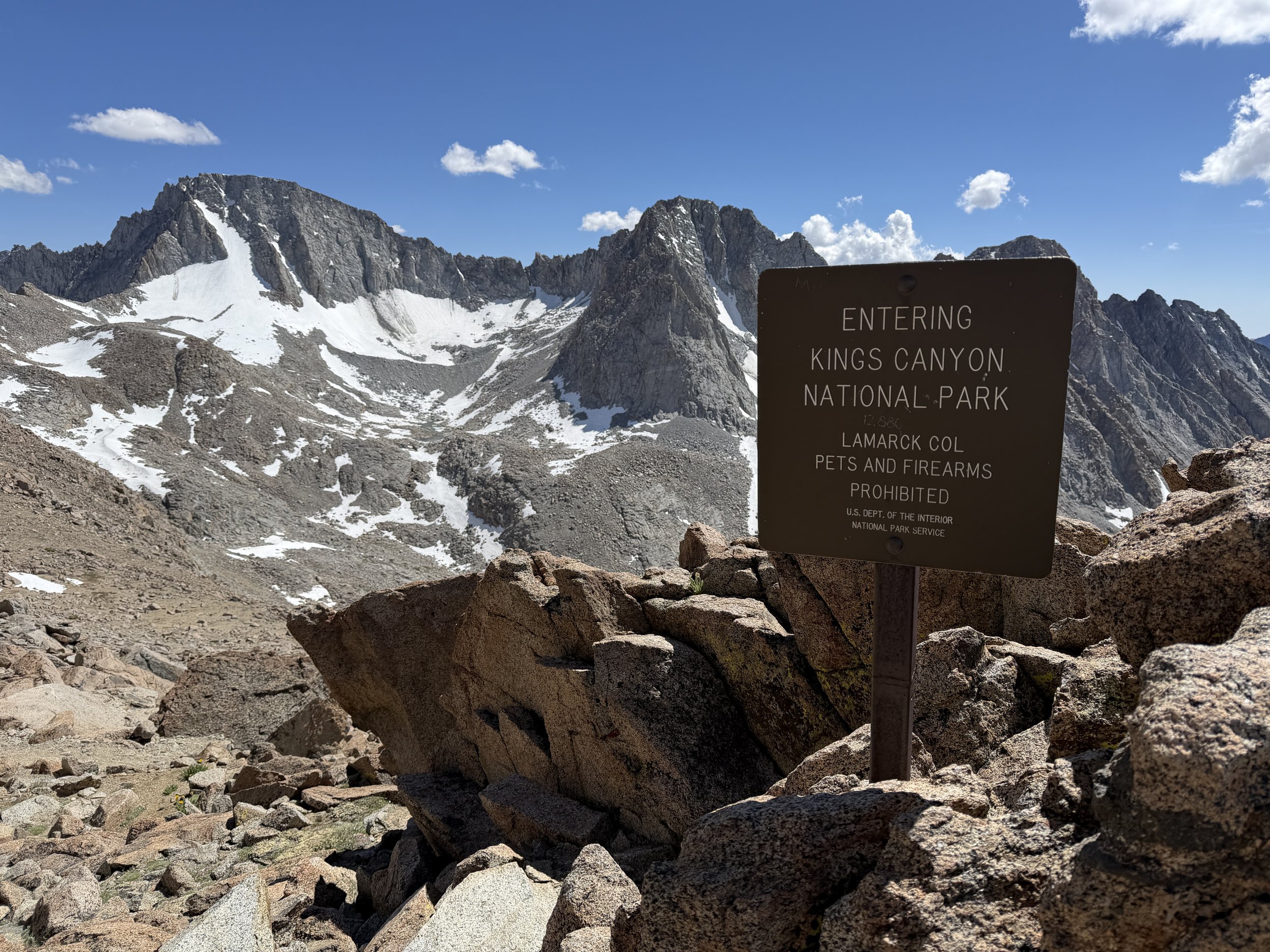
The Lamarck Lakes permit is the most direct access point to get to the popular Evolution Valley region. The trail starts at North Lake Campground and an easy cross-country route goes over Lamarck Col (a col is another term for a mountain pass) at a high 12,880 feet and terminates at Upper Lamarck Lake. To note, the northeast side of the pass holds snow late into the season but being a well-trodden route, the boot track usually provides solid footing.
For this out-and-back trip we descended the use trail from Lamarck Lakes to the junction with the John Muir Trail (JMT) and went south toward Muir Pass (11,955 ft) to access Ionian Basin via an off-trail pass called “Black Giant Pass” (Class 2 - 12,200 ft).
Trail Diary
We kicked off 4th of July weekend early by heading up to the eastern Sierra late Tuesday night. We camped at Sabrina Campground in prep for our big first day going up Lamarck Col (+3,800 gain). I’ve learned to pack a sleep mask for these late night arrivals where the next morning you don’t want to wake up with the blazing sun at 5am.
We made our breakfast of coffee, Kodiak Cakes Protein Oats, and a gas station muffin. Carbs on board, we began to organize and “stuff” our packs to the brim. This being a five day trip, we had what felt like a ton of food to carry along. I cut weight where I could, removing frivolous items like the velcro cinch strap for my sleeping pad and my book (sorry Colin Fletcher). With only the essentials, my trusty Gregory still weighed in at 31 pounds. I violated the recommended 20% your weight rule by quite a bit, oh well! Tanner had the opposite mentality: his pack was already so heavy with camera gear that he was tossing books in. What was another few ounces at that point? His pack weighed in at whopping 39 pounds.
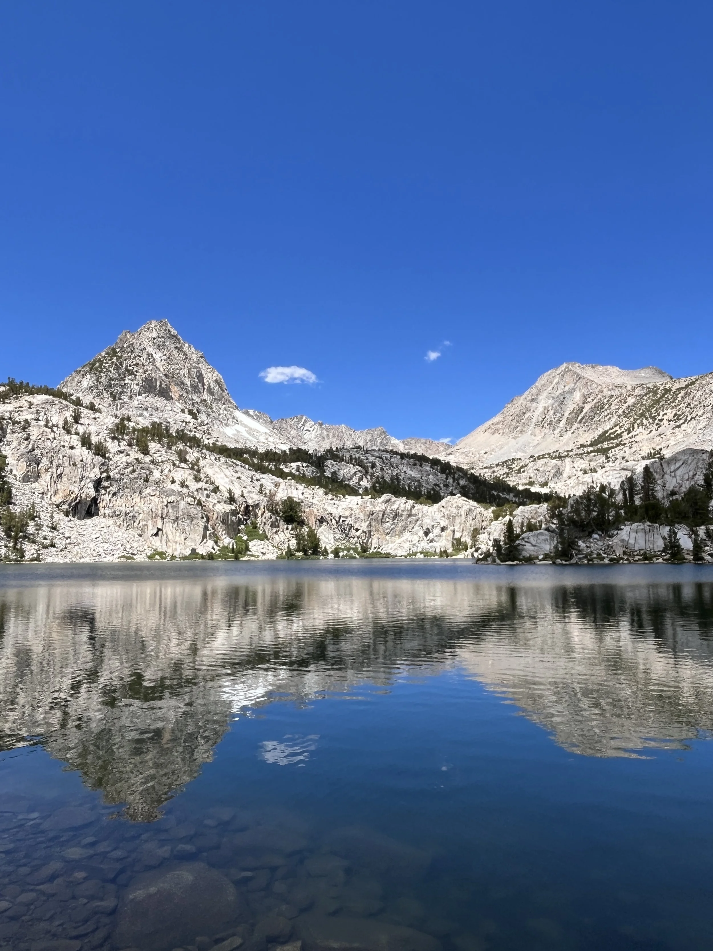
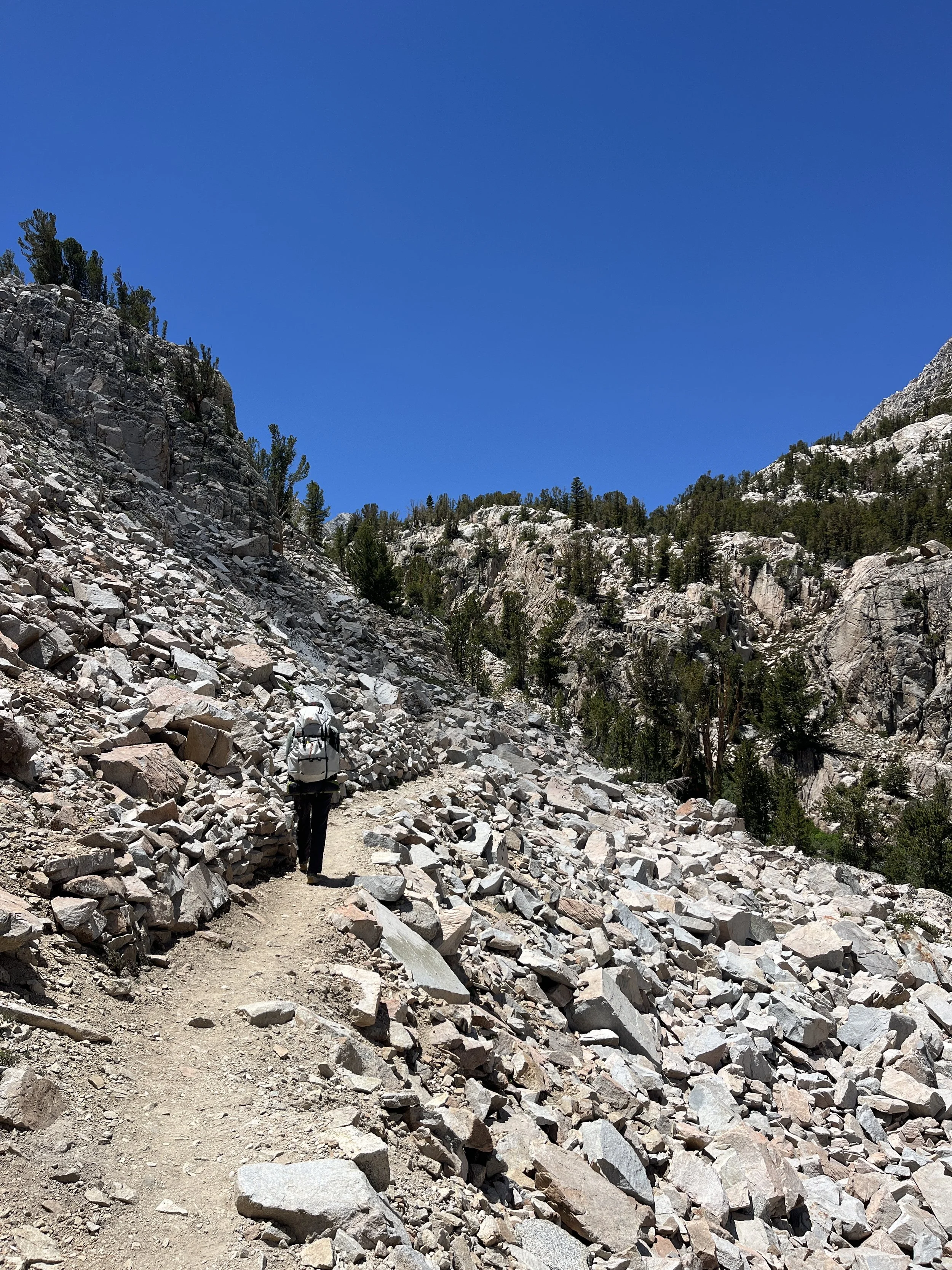
We loaded up the car and made the short drive to North Lake. We parked at the lot by the lake (the nearest to the trailhead) and walked the 0.6 miles to the actual start of Lamarck Lakes trail. The trailhead serves as the starting point for both Lamarck Col and Piute Pass but they only briefly share the trail before parting ways. The initial 9,000–10,000-foot zone as you begin the climb from the trailhead was incredibly lush. The pines were dense and the understory was filled with ferns and every color of wildflower you could imagine.
The trail ascends steadily to the first lake, Lower Lamarck Lake. Here, two miles in, was the first water crossing/fill up opportunity of the trip. The real climb began at about 2.5 miles in, where steep switchbacks lead up to a bench below Lamarck Col. There we started encountering small snow fields as we got closer to the base of the Col and got a glimpse at the main snowfield up the pass.
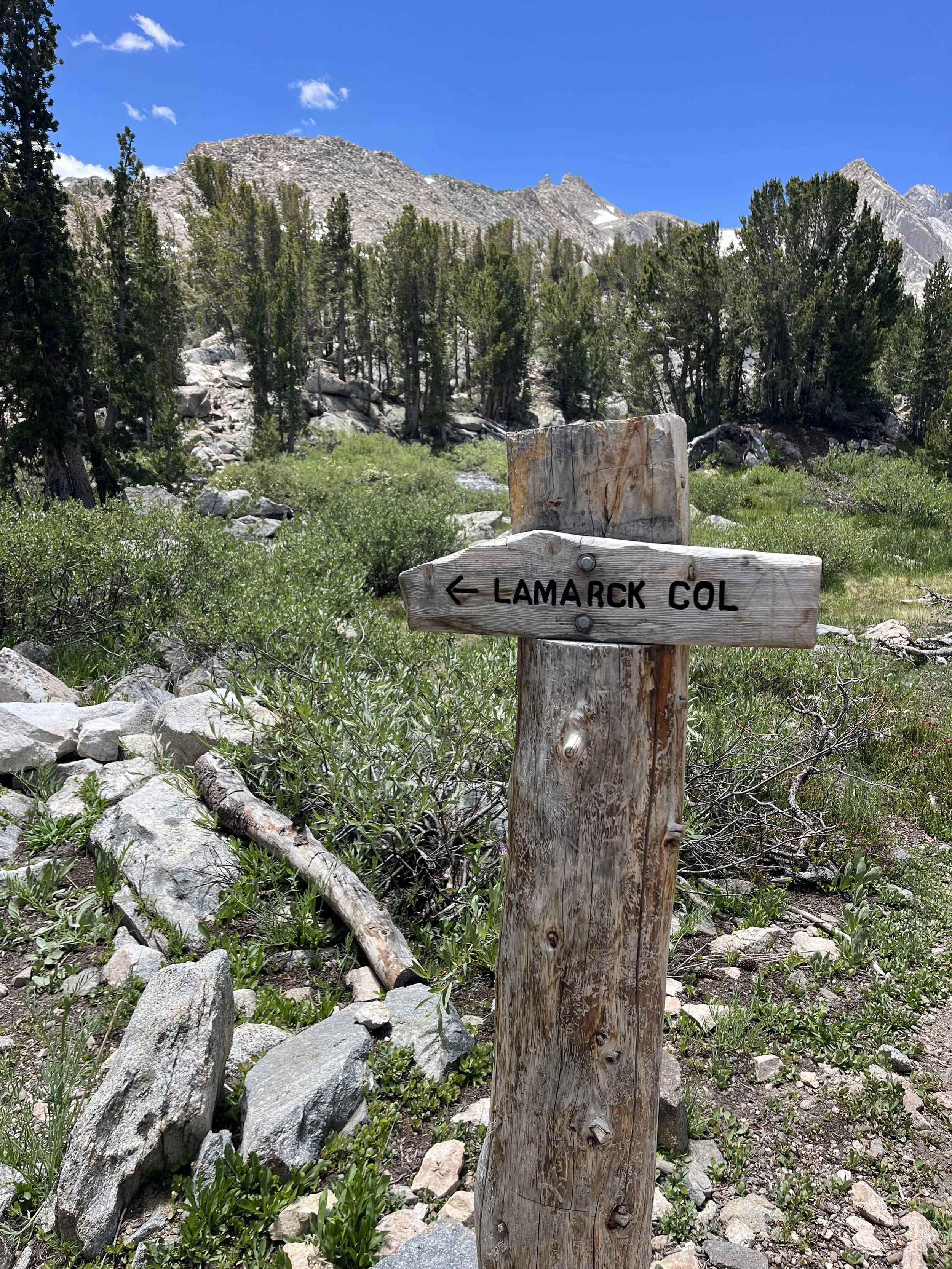
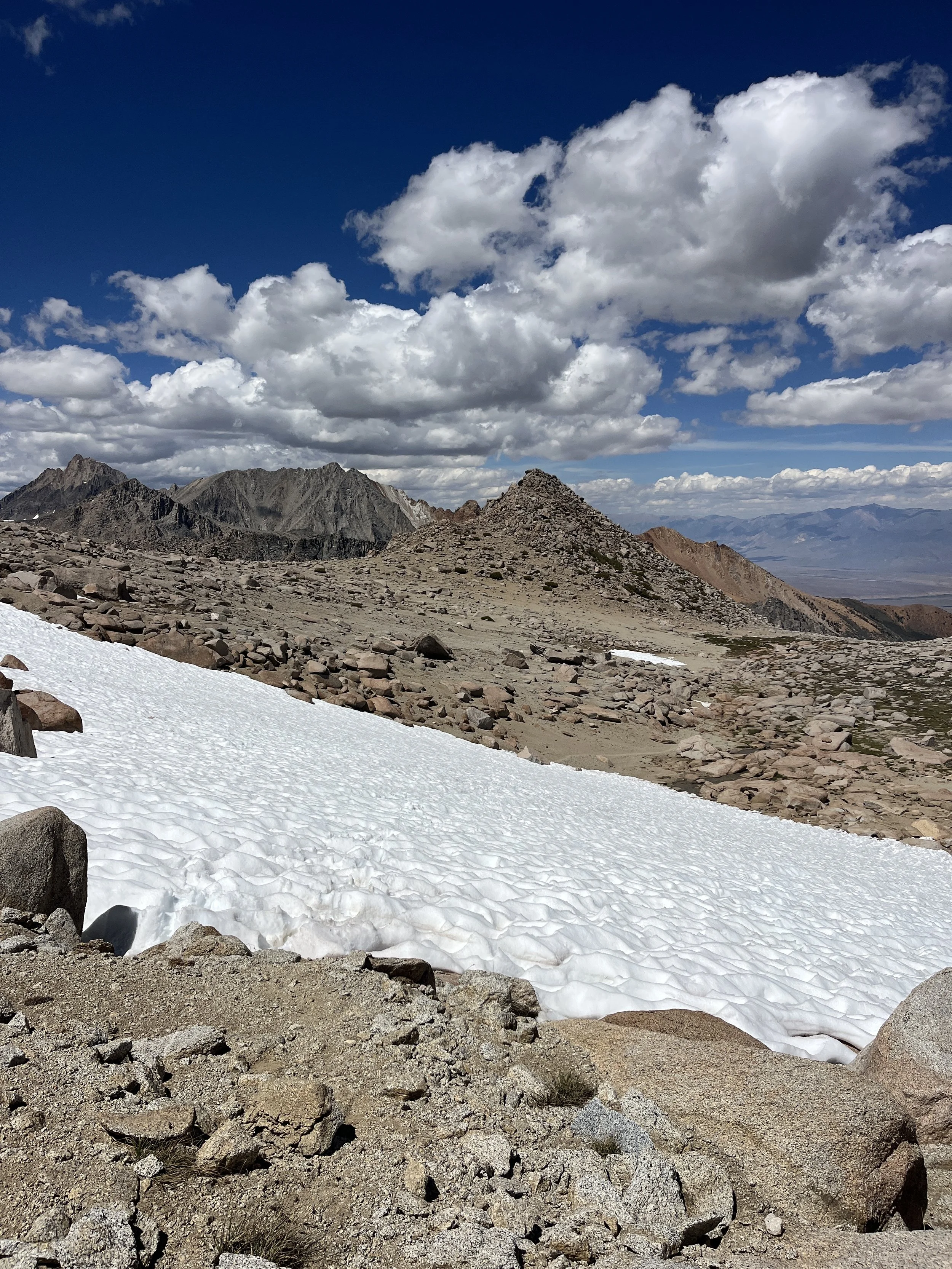
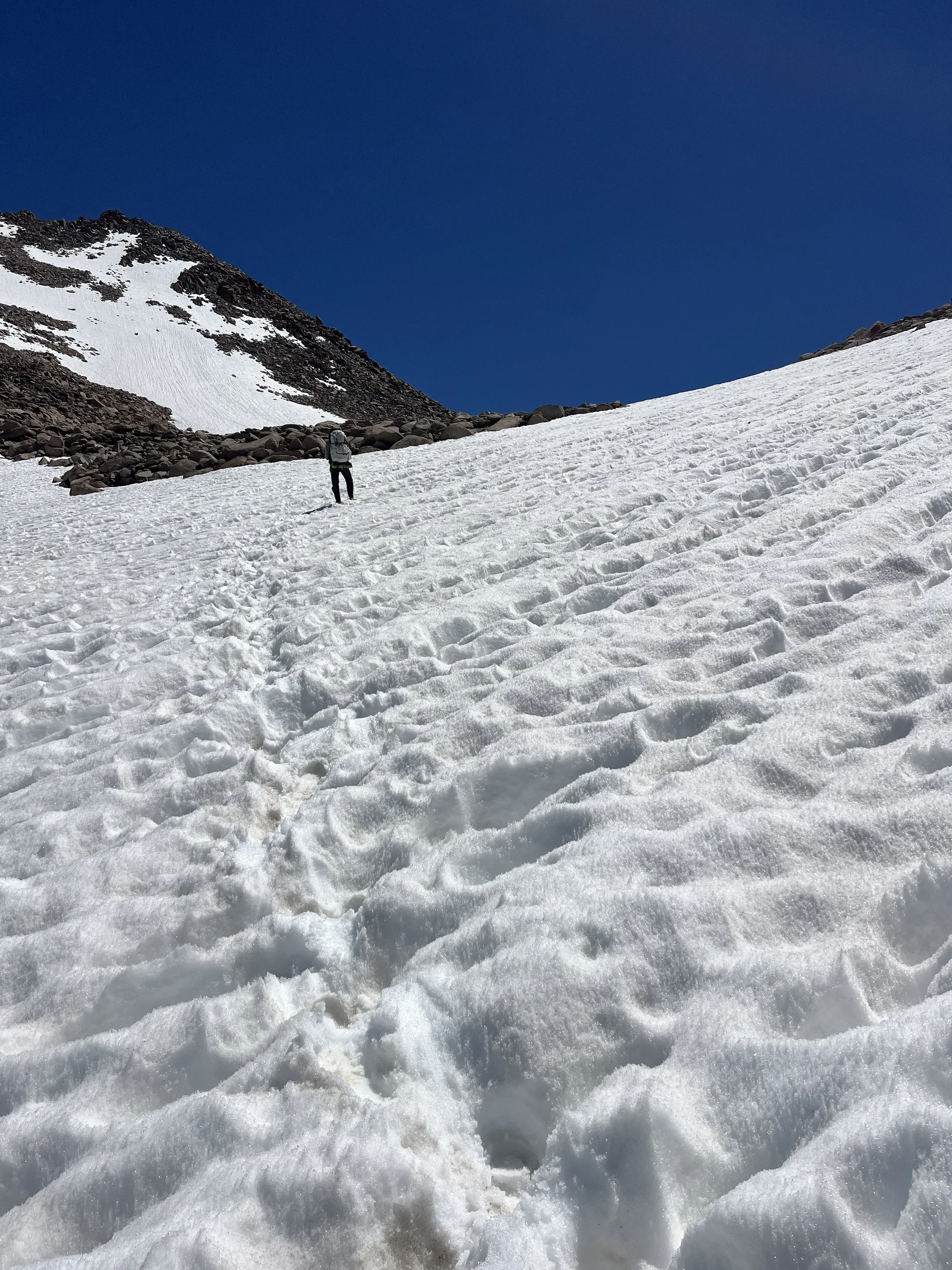
The grade appeared to be a lot more vertical from afar than when we were right below the main snowfield. Having read recent trip reports prior to our trip, I knew the final snowfield at this point of the summer was stable, with a well established bootpack trail to the top of the col. As we were trudging up the suncupped path, a trail runner we saw hours before was blazing his way down. We were quite impressed by both his speed and dexterity.
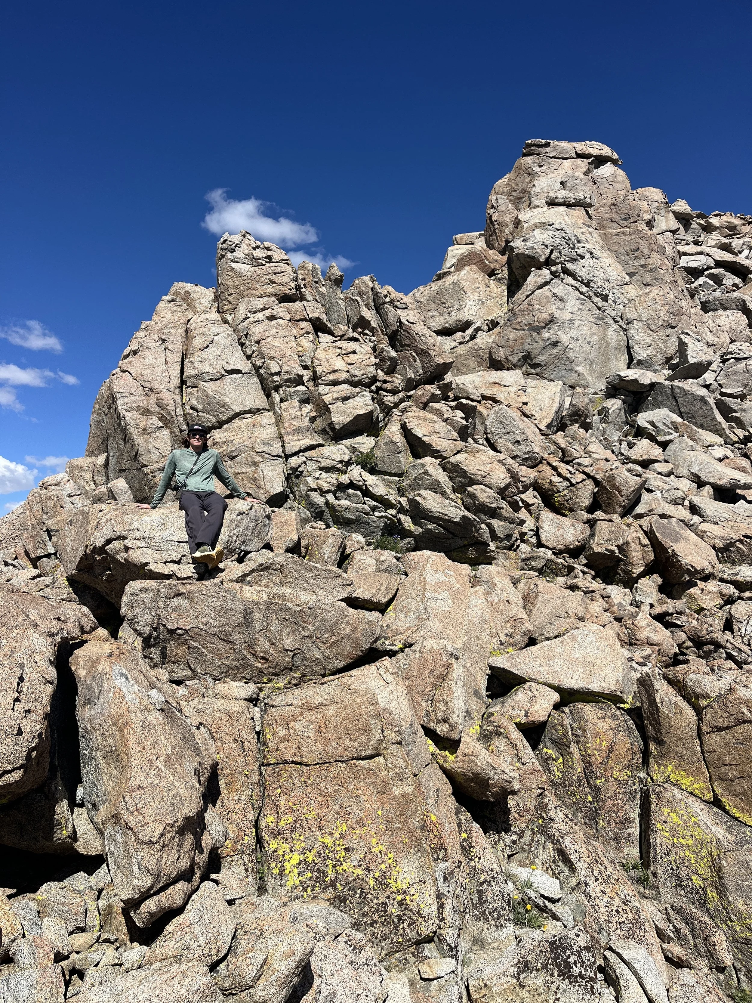
We crossed the snowfield around 2:30pm and although a tad slushy, there was no risk of a slip or fall as the suncups/bootpack were ankle deep. The top of the col (12,880 ft) was blanketed in alpine gold (Hulsea algida) and the high elevation-loving Sierra Nevada sky pilot (Polemonium eximium). We stopped for a snack and photos, then started our descent of the scree field below.
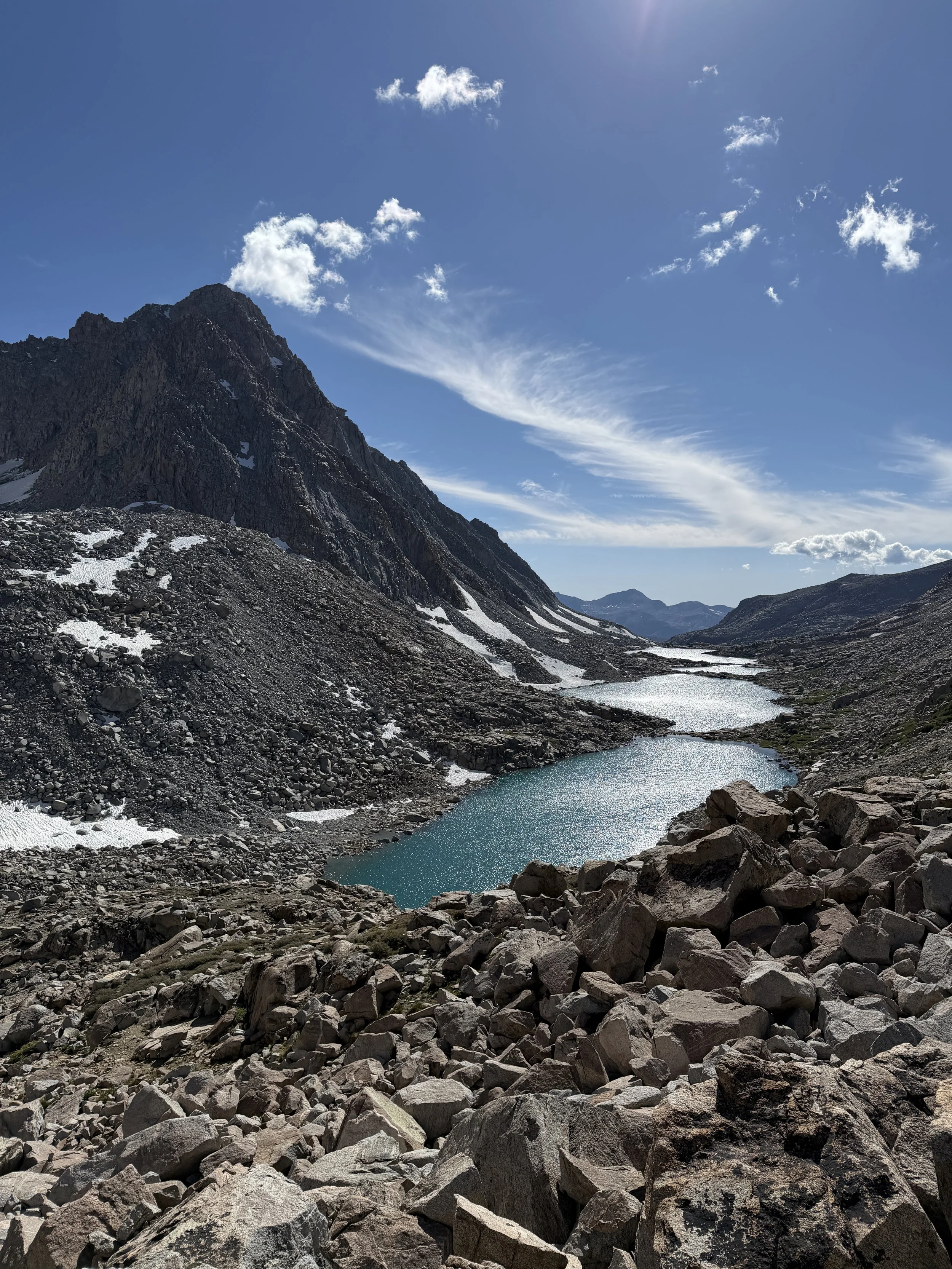
While hiking down we stopped to chat with a hiker coming up who told us his partner was having trouble exiting via the col and had been throwing up. A few minutes later we encountered his buddy who was sitting on the trail with his head between his knees. We offered him some of our electrolyte chews we had but he politely refused. He said he planned to keep pushing forward, at whatever pace, which was concerning with the current state of his Acute Mountain Sickness (AMS). I hope he made it out okay!
As if the AMS was contagious, Tanner and I both developed headaches as we dropped down to the first Darwin Canyon lake below the pass. I did my best to put my head down and grind out the boulder field above the lakes but my headache got sharper and I started becoming oddly emotional? Tanner became concerned and suggested that we stop for the day at the next good campsite we passed. Our intended destination was Darwin Bench, a few miles further. We camped on the bench four years ago on another trip and I was really looking forward to returning to it. Feeling a little defeated, I agreed to stop and we found a site next to the last lake in the chain of Darwin Canyon lakes. After drinking some electrolytes and taking some ibuprofen, the pounding in my head eased.
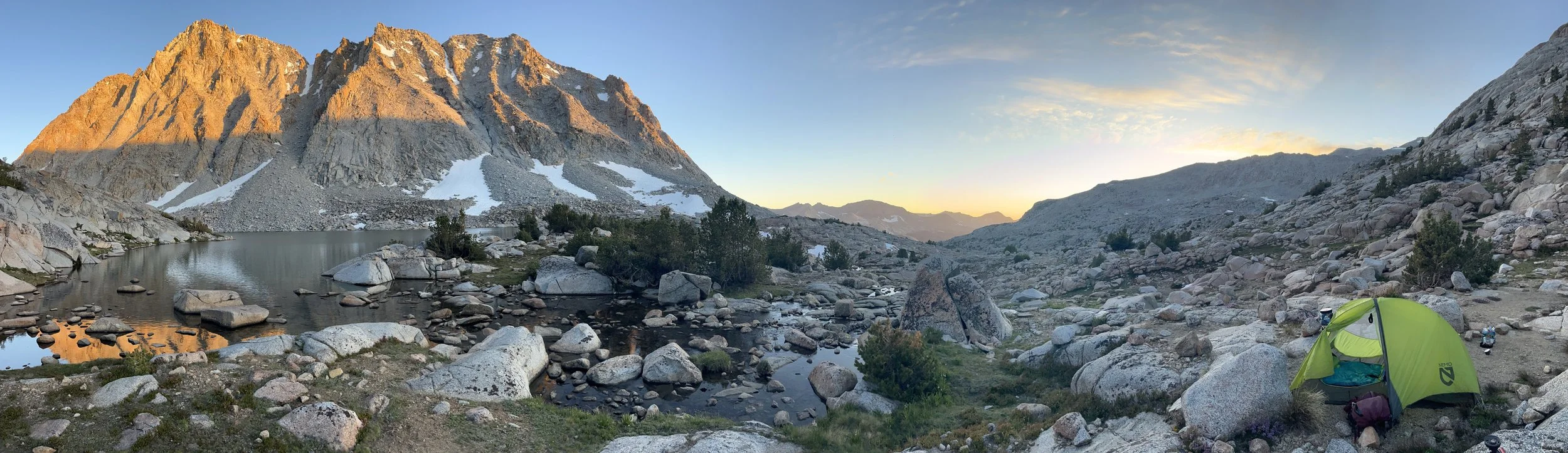
Lamarck Lakes campsite.
We set up the tent and took it easy until sunset. Then Mount Mendel took on an orange glow and Tanner had to run to a vantage point to get the “shot”. Thankfully I had my appetite back by dinnertime and scarfed down a dehydrated meal. We spent the rest of the evening sipping tea and recounting the day’s sights and sounds.
The following morning we had breakfast alongside some overzealous local marmots and packed up camp. We launched and about 0.9 miles later we were at our previous campsite. I was bummed to learn we were that close the night before but I had to heed my body.
Our objective for the day was to get into Ionian Basin, which required going over two passes: Muir Pass and Black Giant Pass (off-trail). The trail below Darwin Bench was elusive when overgrown but became more straightforward as we got closer to the superhighway, aka the JMT.
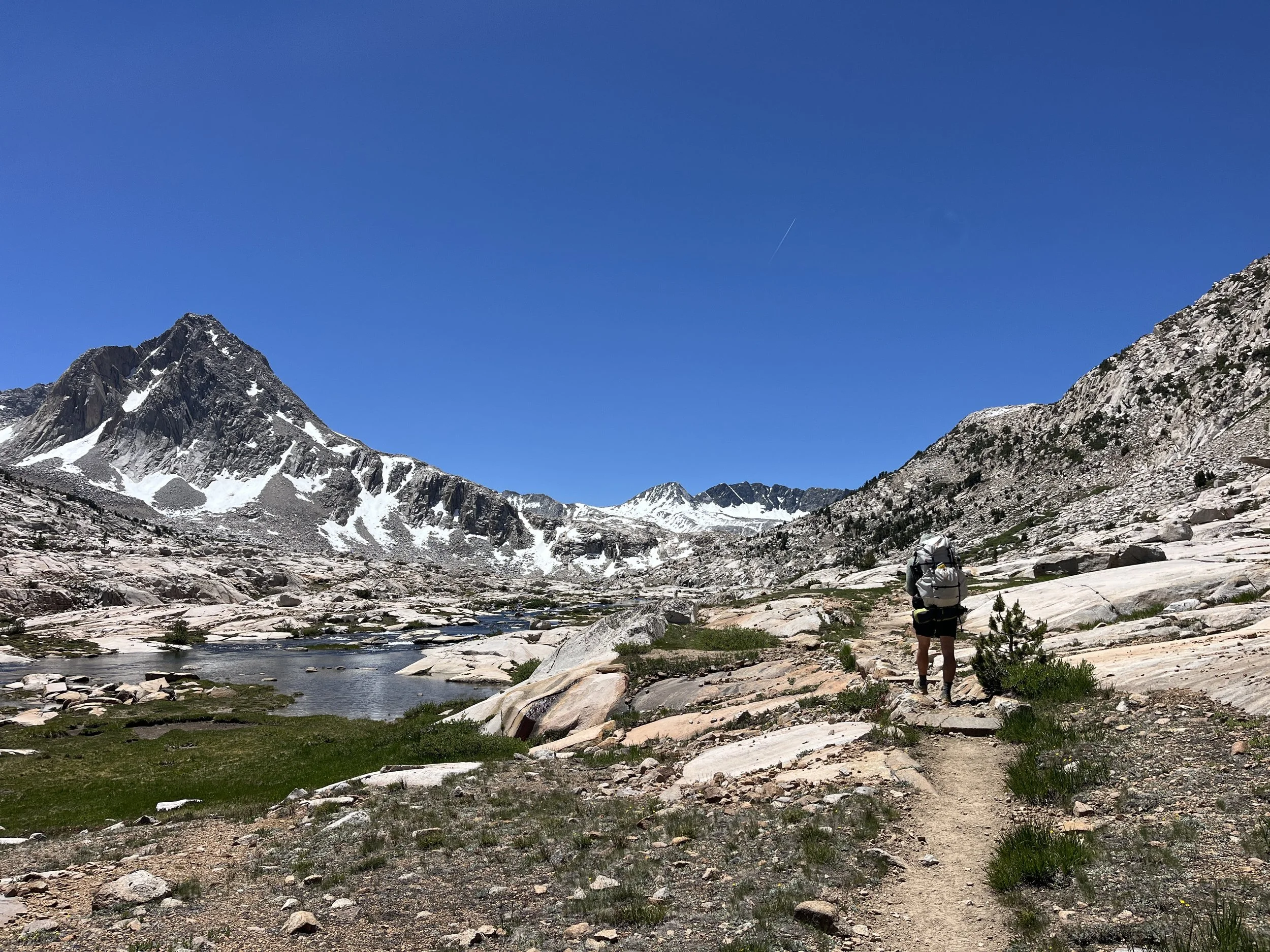
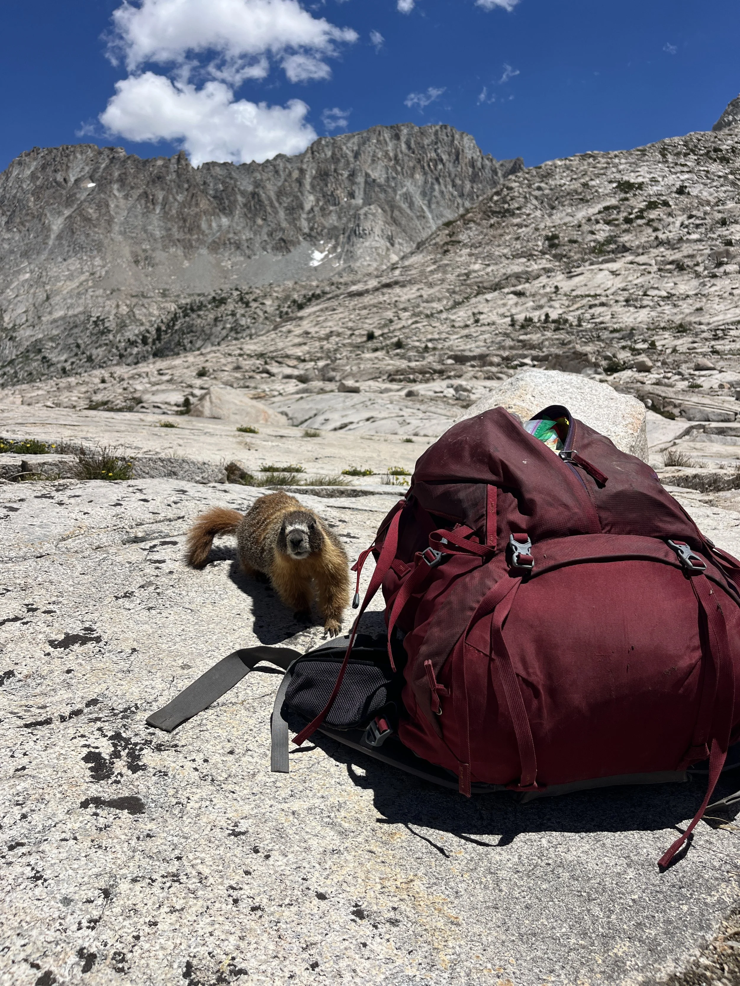
Now this upcoming section I would consider some of the best on-trail scenery the Sierra has to offer. Everything is exaggerated, making it a feast for the eyes. For example, the gorgeous Evolution Lake takes almost 1.5 miles to skirt around and is surrounded by granite monoliths pushing 13,000 ft. The basin also has a sizeable colony of marmots and we were delighted to see a few pups while passing through. In summary, Evolution Basin is a gem, please go see it!
We ate lunch at Sapphire Lake with some very habituated marmots. One sassily took a test bite of a strap on my pack (a prelude of sorts for an incident later in our trip) as we tried to shoo it away. Later on, as we passed the the outlet of Sapphire Lake, we noticed a large canvas tent and a cluster of smaller tents surrounding it. We stopped and pondered what this small alpine village might be up to. We proposed that it might be the Park Service doing research or less likely, a search and rescue incident command post. We let our minds wander and continued on towards Muir Pass.
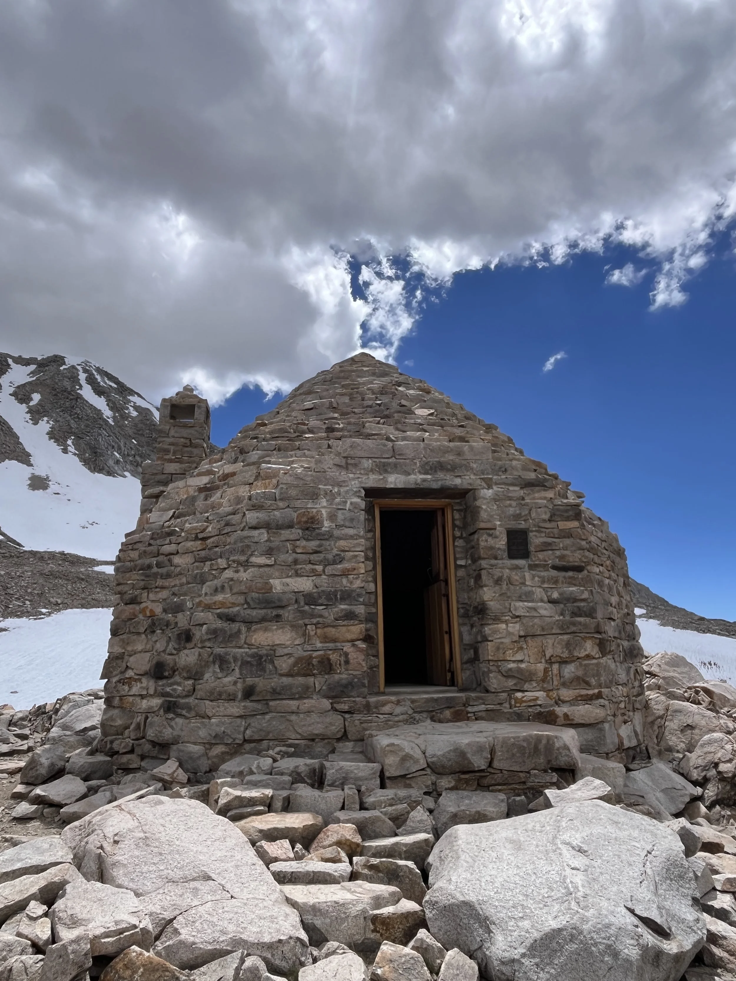
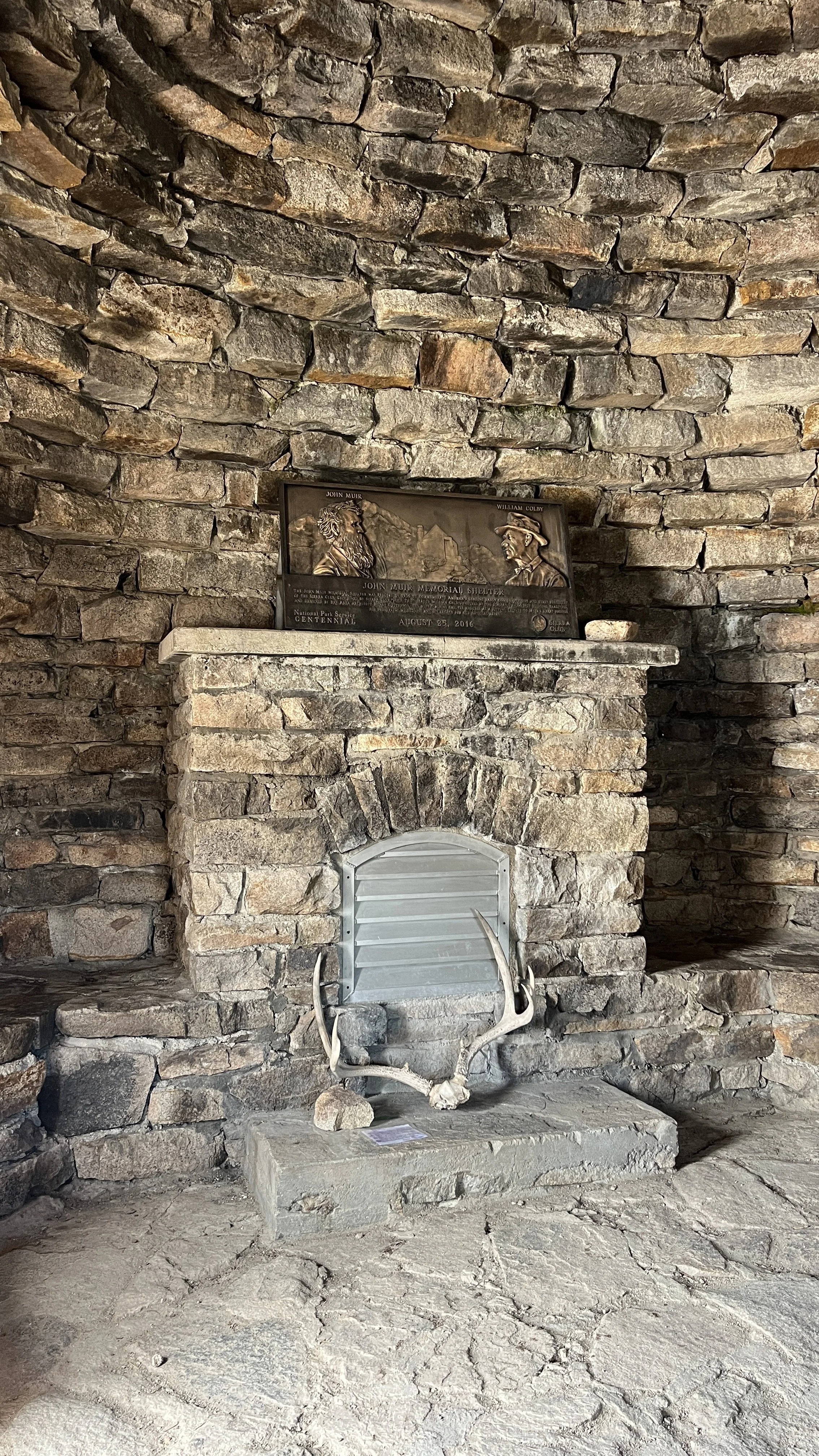
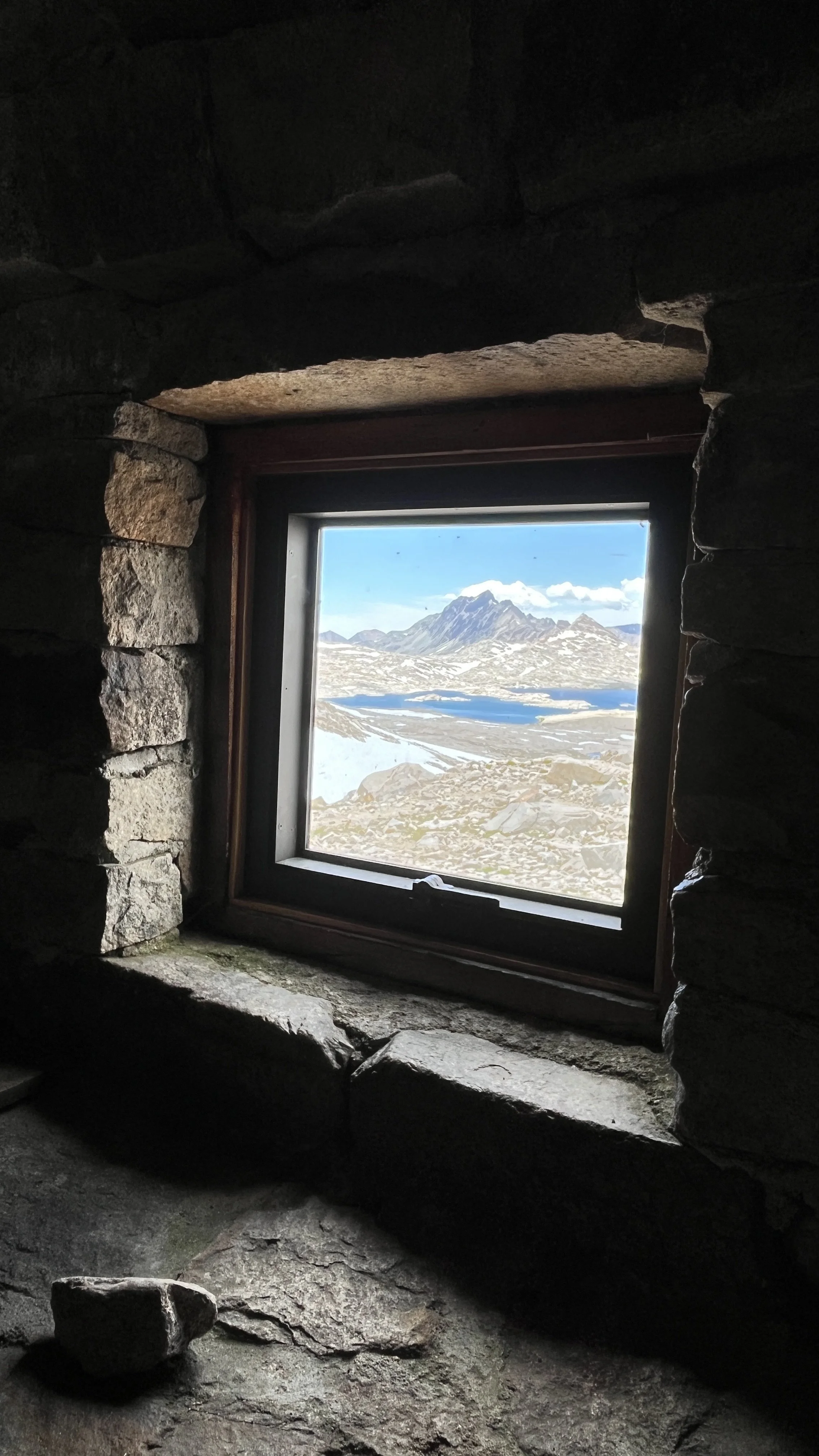
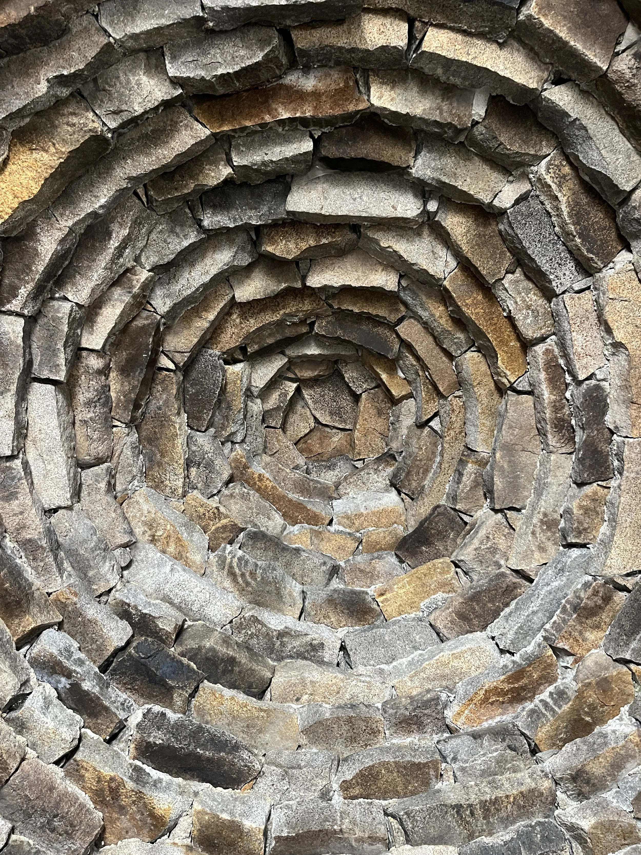
The southbound climb up Muir Pass is a mellow set of switchbacks that spit you out at the John Muir Memorial Shelter (11,955 ft). This granite hut built in 1930 by the Sierra Club both blends in and stands out along the ridge. We dropped our packs outside the hut and went inside. The last time we came over Muir Pass we didn’t get to see inside because it was full of sleeping PCT hikers. We opened the dutch door and were immediately taken back by the stench. It smelled like some ripe thru-hikers had crashed that night as well. We took some photos and stared up for a while at the mesmerizing domed ceiling.
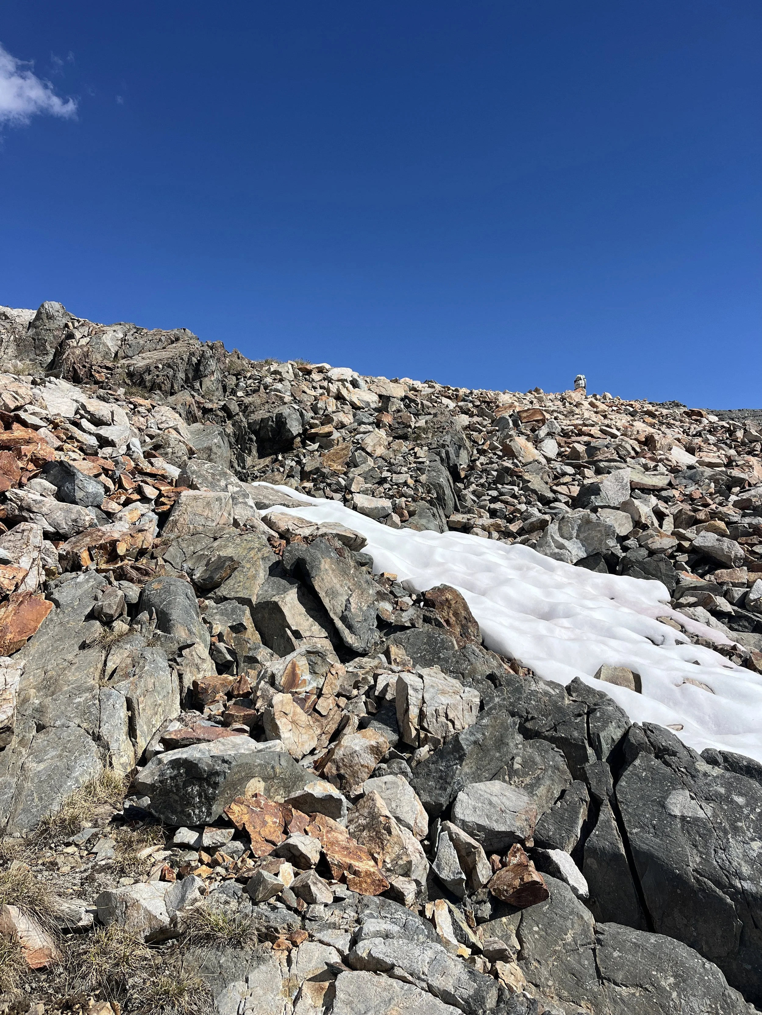
From the Muir Hut, we looked southeast toward Black Giant Pass (12,200 ft), which would take us into Ionian Basin. Its obvious saddle sat below the peak of the same name and was covered with a banked snowfield. We left the JMT between the hut and Helen Lake. There were a few small snowfields to cross on our way to the northern shore of the lake that sits below the pass. We boulder hopped along the lake’s edge until we reached a rock outcrop that broke through the main snowfield below the pass. We used this outcrop to get a little higher and see what condition the snow was in at this time of day. Thankfully the snow was suncupped and not too slushy at 4pm. As we alternated between rock outcrops and snow, we occasionally picked up the faint use trail beneath the snow on our way to the saddle. All in all, it was about a mile of easy off-trail travel to the top of Black Giant Pass.
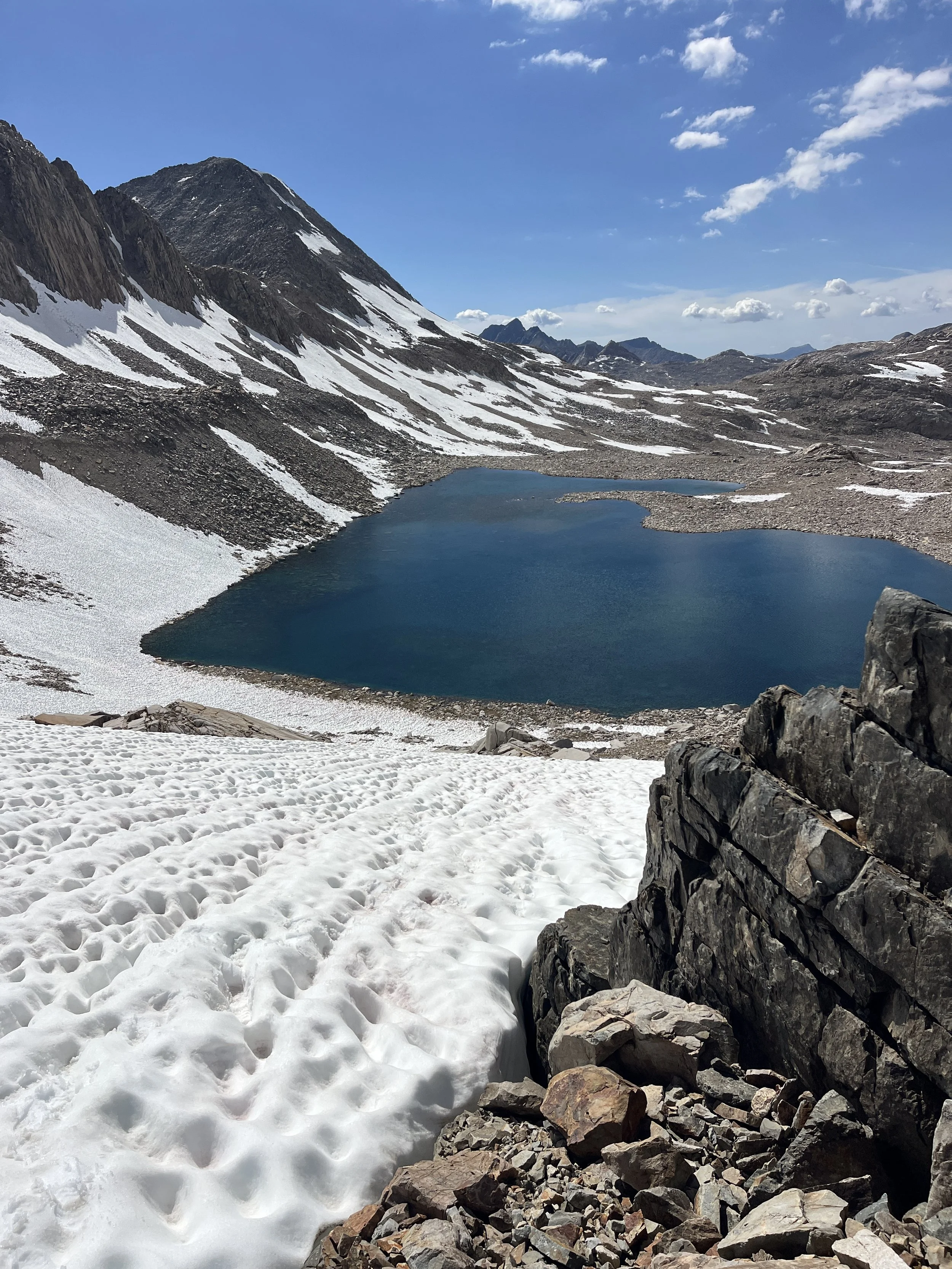
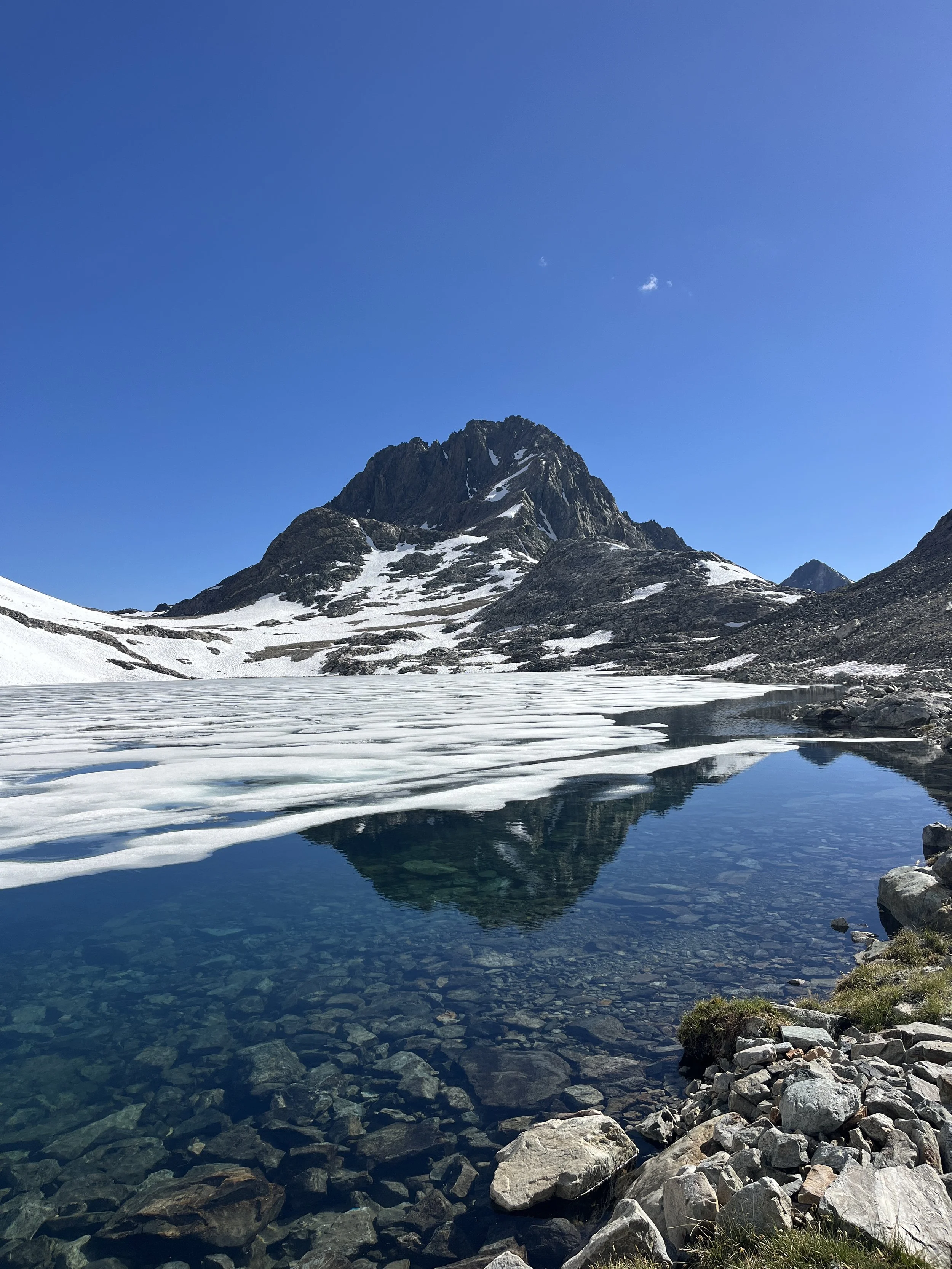
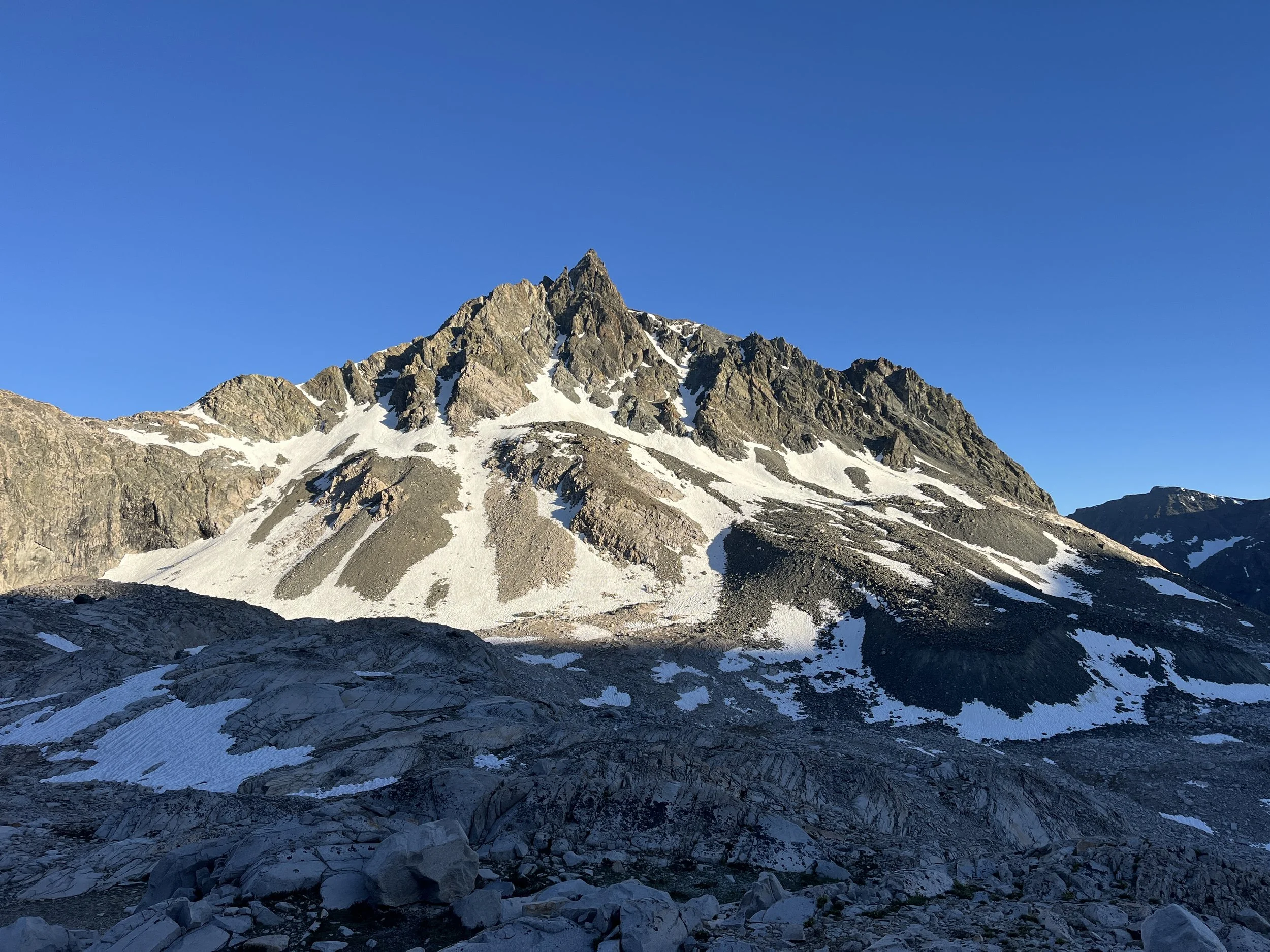
We stopped at the top of the pass to get our bearings and were rewarded with our first look at a brute peak called Charybdis. The Ionian Basin continues the Greek mythology theme with names like Charybdis, Scylla, and the Three Sirens, and is considered one of the wildest regions in the Sierra. According to mountaineer and Sierra historian R.J. Secor, this zone wasn't accurately charted until the 1950s, well after the heyday of High Sierra exploration.
We began the descent down the rocky terrain to the western shore of the large, nameless lake below the pass. From the shore, we stayed on the north side of the lake’s outlet and basically slid down a steep section of scree that paralleled a waterfall. Back on level ground, we continued to follow the outlet creek through an open meadow that sits at the base of Charybdis. We debated hiking all the way down the basin to Chasm Lake but decided to stop at an unnamed lake that was situated on a shelf overlooking the basin in its entirety. We struggled to find a preexisting campsite in the area but eventually landed on a bare patch of small rocks. The rest of the evening was spent basking in Charybdis’s glory; we were truly captivated by the peak.
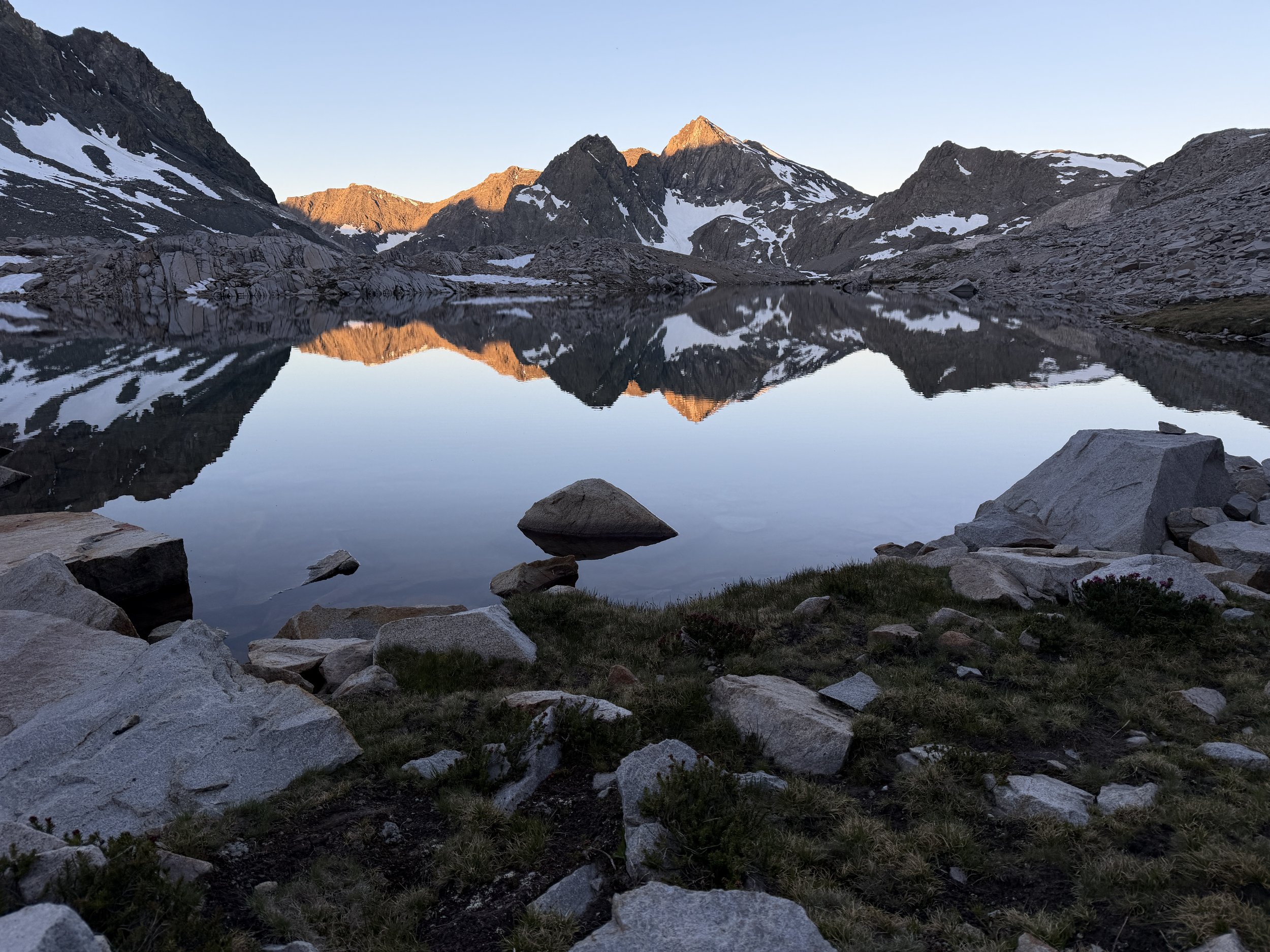
The next morning we got up, made breakfast, and stuffed our daypack for a day exploring the basin and maybe bagging a peak. Tanner had set his sights set on climbing nearby Mount Solomon (13,034 ft). We dropped down to Chasm Lake, where we lingered for a bit and Tanner went for a morning swim. The south end of Chasm Lake drops dramatically into the ever remote canyon called The Enchanted Gorge, a trip for another time. From the north end of Chasm Lake, we started following the outlet of a lake above us, to the northwest. The route was easy cross-country travel. We popped up at the top of the outlet and we were greeted by a large, unnamed lake with a small island in the middle. Most lakes in the area are nameless despite being of decent size, might be a testament to relative little use the area gets. Tanner took a dip in the lake (he keeps a running tally of dips per day), along with a small mouse we watched swimming between rocky peninsulas along the shore.
After a sufficient amount of lounging, we eyed our approach up Mount Solomon, to the northeast of the lake. We worked our way both around and across same snowfields below the class 2 southwest ridge. The closer we got to the ridge, the larger the rocks became and I was not loving the gaps between the boulders I was hopping. The views of Ionian and the Evolution Valley were phenomenal on such a clear day. Opting to go a different way down, we dropped below the summit and made a beeline down to the lake below and back down its outlet to Chasm Lake. We took one last plunge in a deep pond we passed earlier that morning and made our way back to camp.
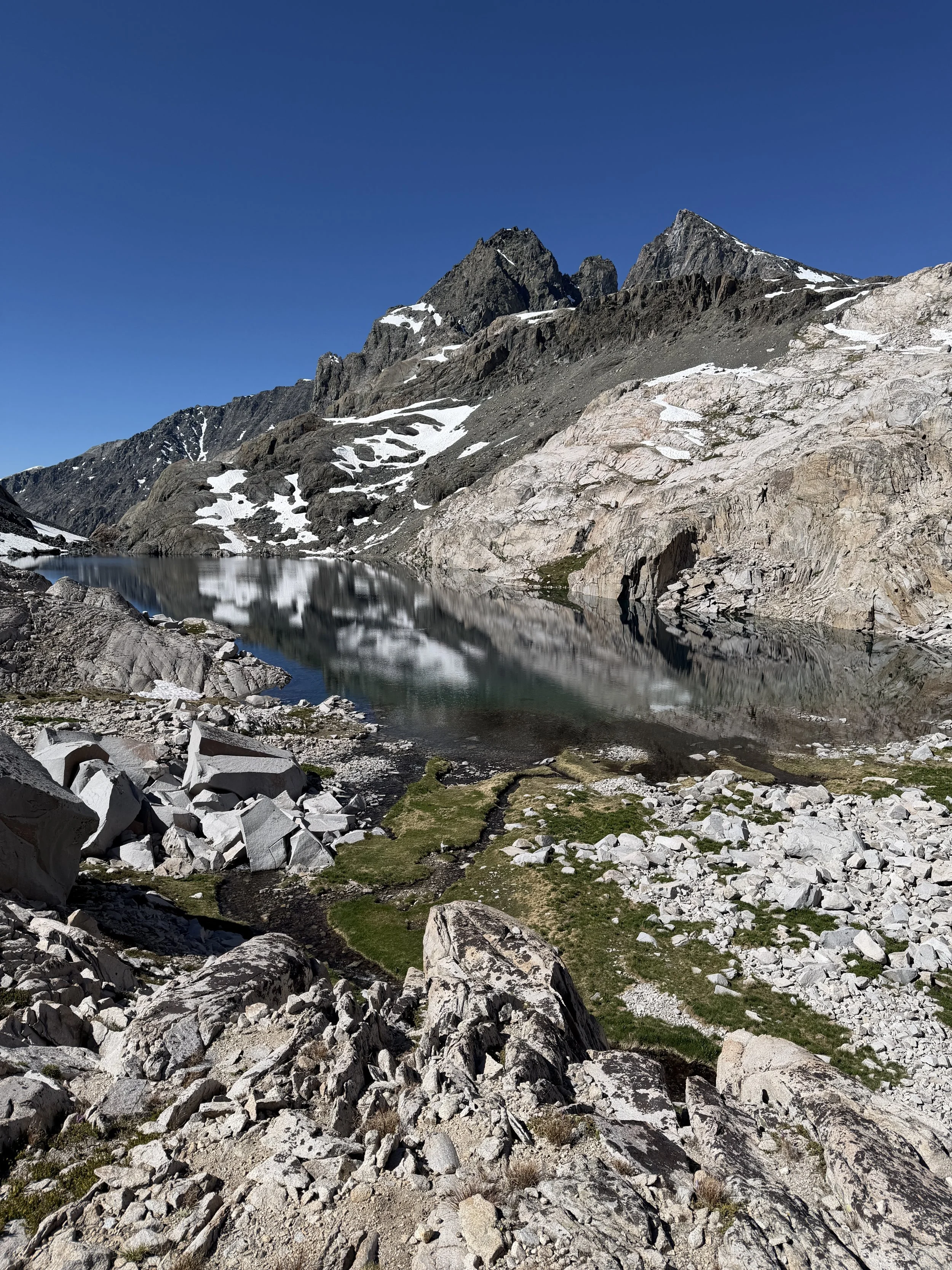
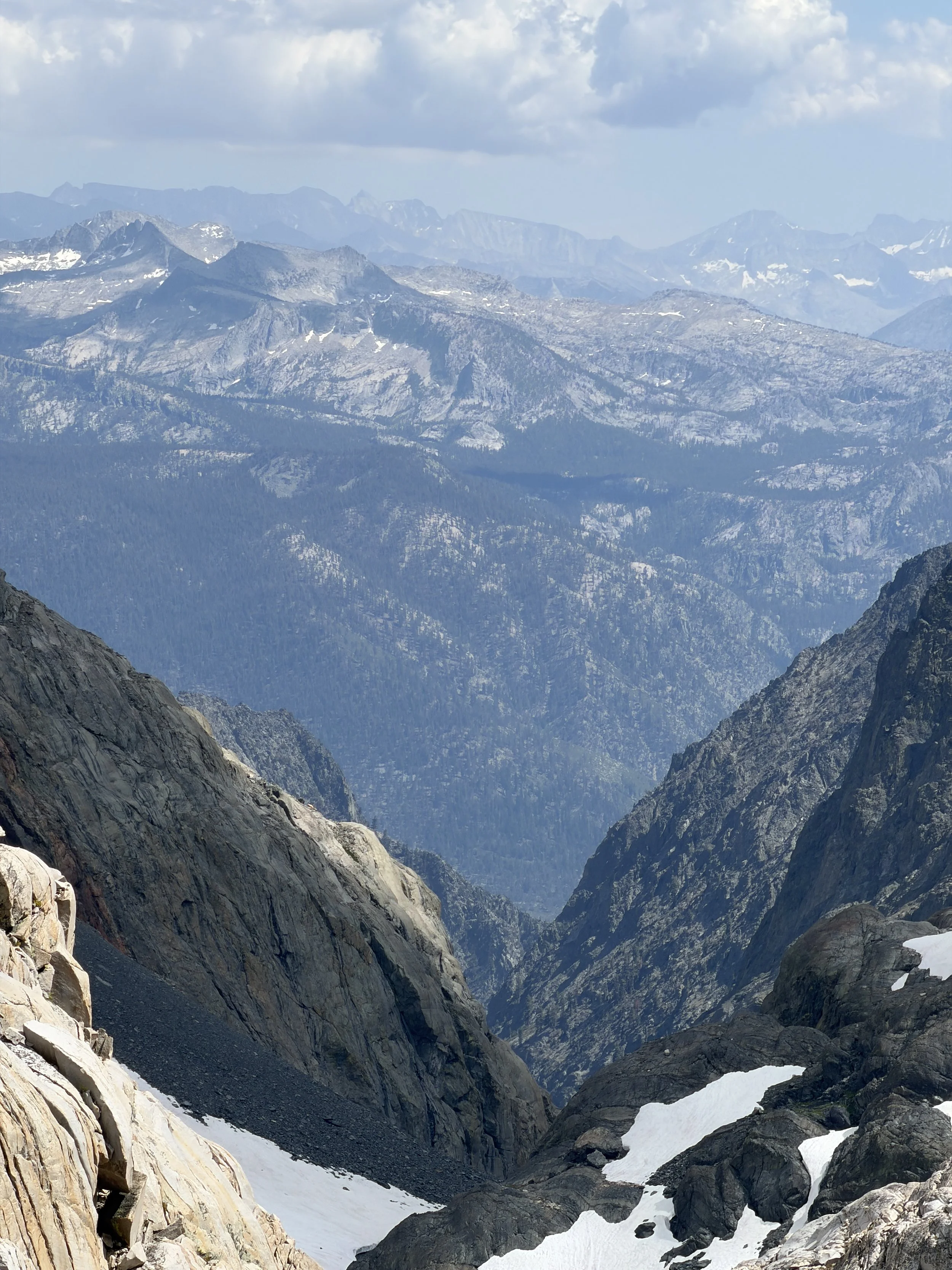
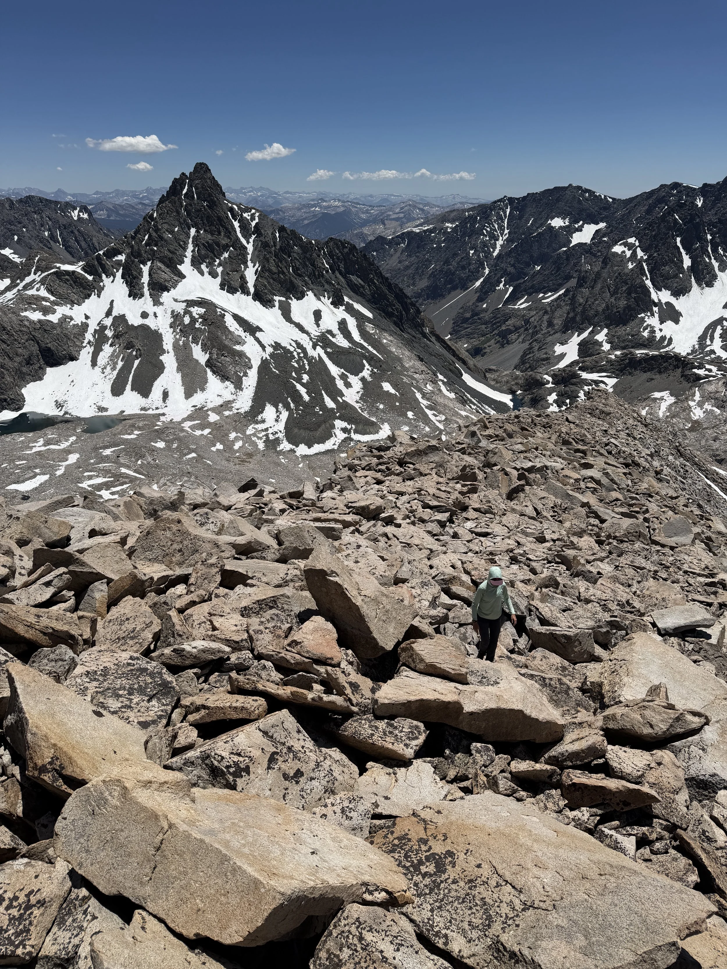
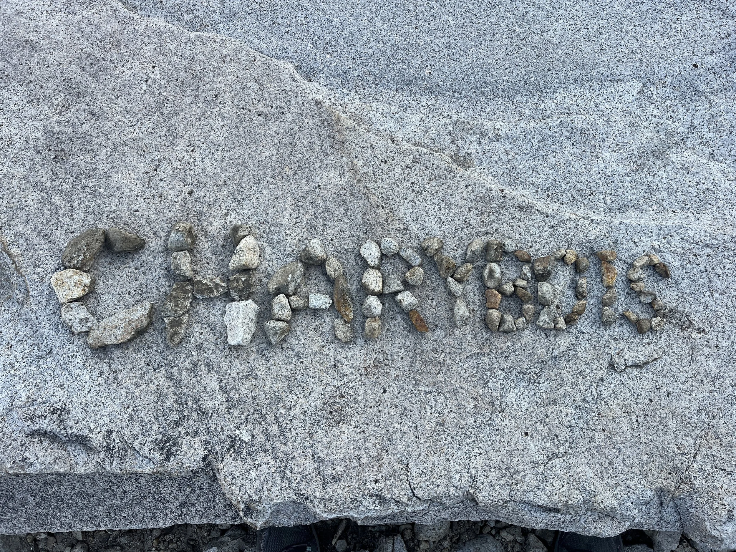
There is something to be said for setting up a base camp on a longer trip, giving yourself the chance to linger in a basin as marvelous and secluded as the Ionian. Hiking without a full pack has its perks, too. We hadn't seen another soul since Muir Hut and still hadn't come across a proper campsite. That evening, we read by the lake, stretched out on granite slabs beneath the stars in our sleeping bags, and said the word Charybdis to comedic effect far more times than anyone reasonably should.
We lingered at camp in the morning, said our farewells to the Greek trio (Three Sirens, Scylla, and Charybdis) and left feeling accomplished, having finally made it to a bucketlist basin. We packed up, stretched our stiff limbs, and began our reluctant exit of Ionian Basin. The climb alongside the waterfall and up the south side of Black Giant Pass was slow-going due to the shifty scree and boulder-filled terrain. The descent down the snowy northside of Black Giant was a piece of cake, we basically flew down the suncupped snowfield. Tanner naturally hopped in the lake below the pass and we soaked in our final moments of solitude before rejoining the JMT parade.
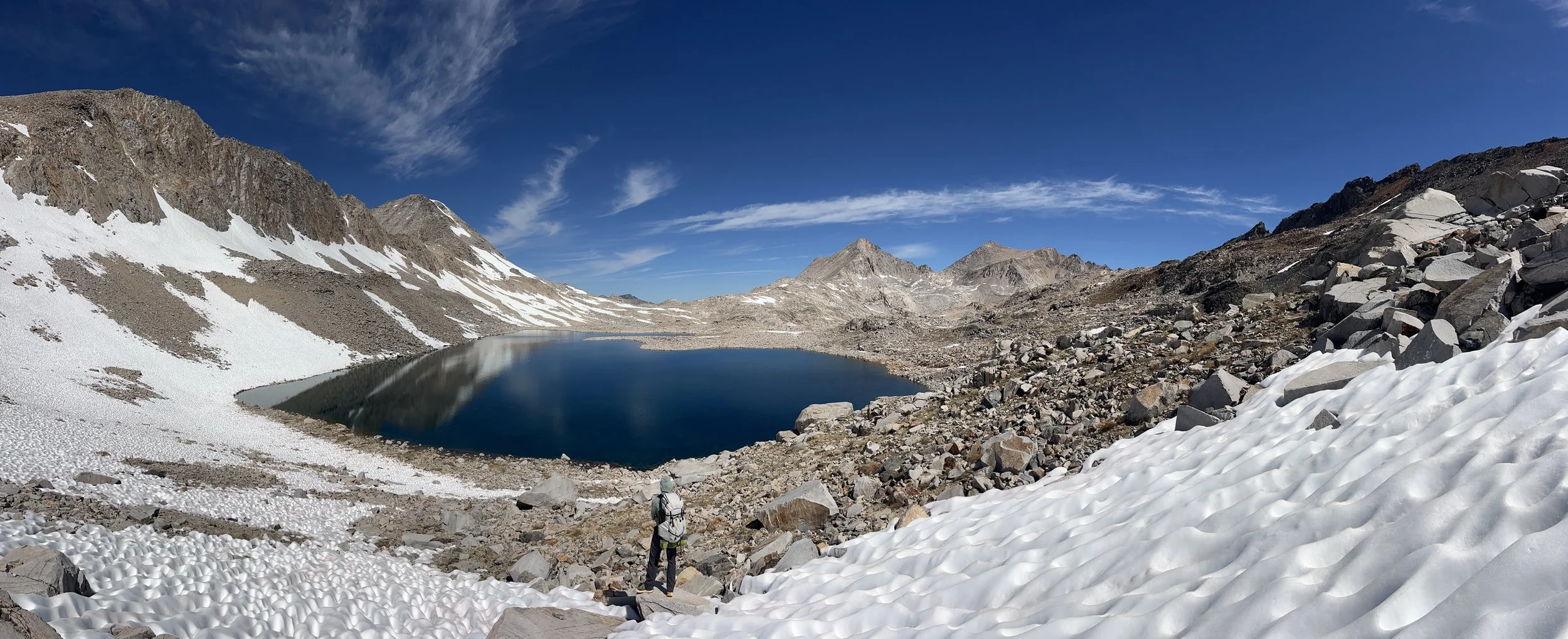
Black Giant Pass snowfield.
We encircled the lakeshore and popped up at the hut, which was packed with thru-hikers shooting the shit and taking pictures of a pika. A few miles further down the trail we encountered a very patriotic duo, wielding a full-sized American flag and decked out in Americana. We had nearly forgotten it was the 4th by day four in the backcountry. They invited us to a hot dog grilling party at the Muir Hut to celebrate. We were unfortunately headed in the opposite direction but wished them luck in their grilling endeavors. We immediately regretted not snapping their pic on Tanner’s film camera.
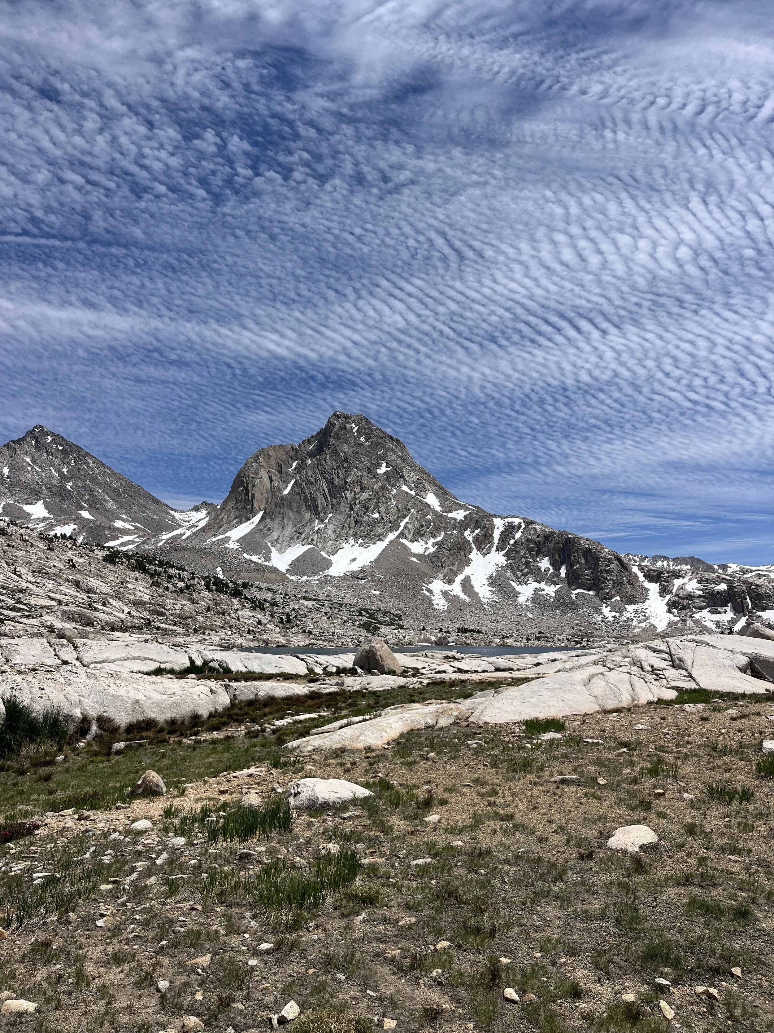
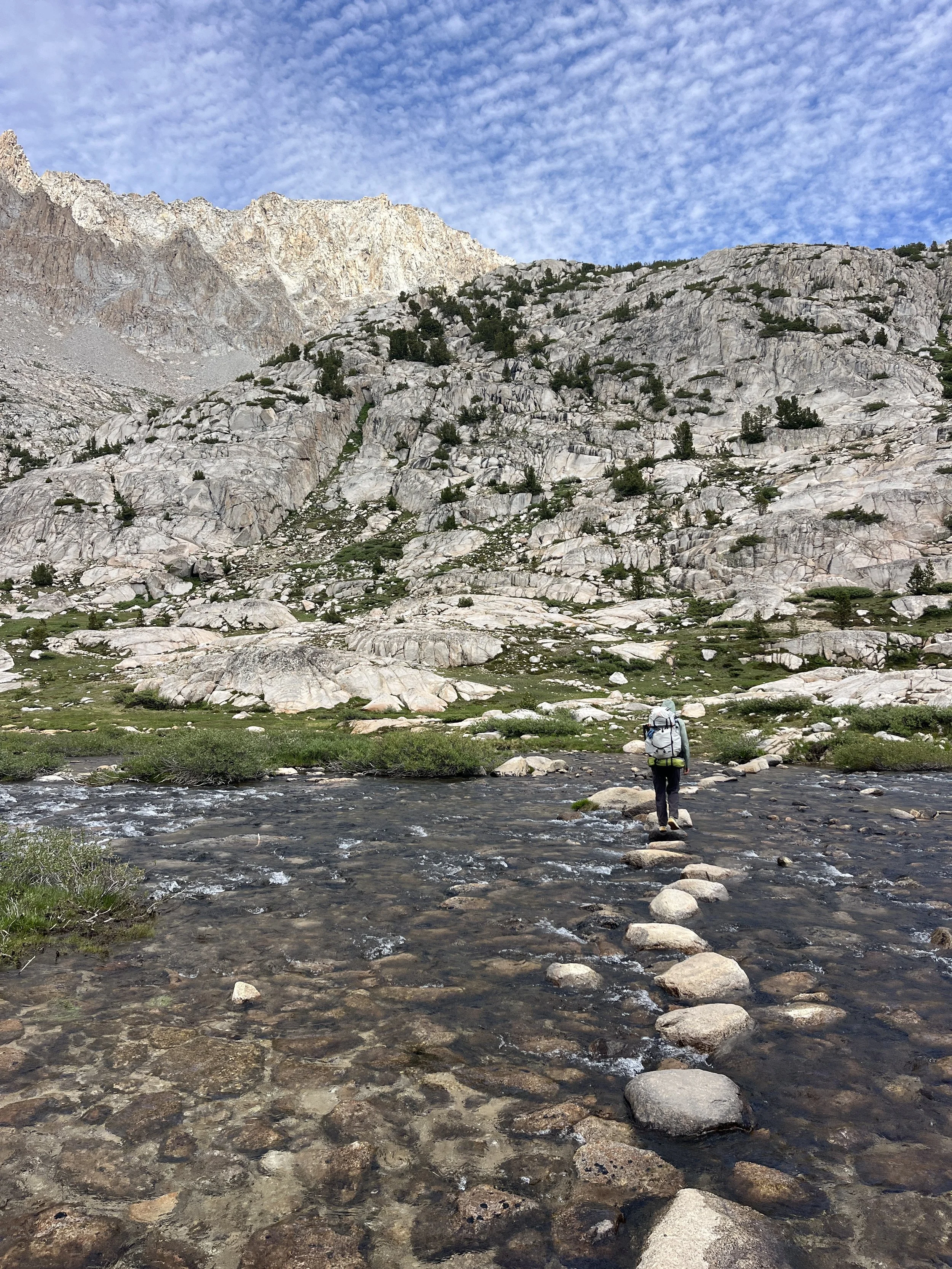
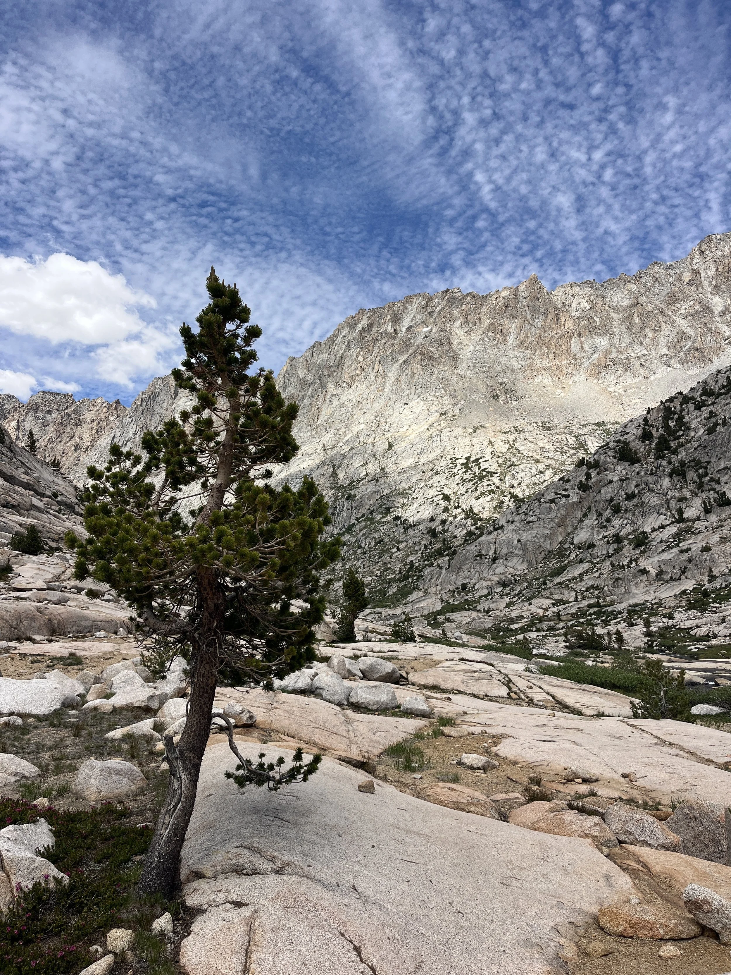
We stopped at Wanda Lake for lunch, daydreaming of hot dogs rather than our 4th day of tuna wraps with goldfish. I was eager to double back on the Evolution Valley and take in the sights once more. The altocumulus clouds that afternoon were dramatic and added an extra oomph to the already striking scenery (see above). Many pictures were taken. We lingered at the iconic stepstone crossing of Evolution Lake’s outlet, one of my favorite manmade features of this section of trail. There are also a few spots on the trail where small creeks undercut the trail and these little riparian zones are lined by a rainbow assortment of wildflowers.
After passing through the valley, we hit a dusty forested section of the JMT and started looking for the turn off for the use trail to Lamarck lakes. A few miles later we were back at Darwin Bench and set down our packs and went for a swim before setting up camp. A father and son came to chat with me and expressed their concern about exiting via the Col the next morning and I was happy to reassure them that they shouldn’t expect much besides maybe an elevated heart rate slogging up the scree to the top.
As it got closer to sunset, we strayed from our campsite to get a view of Evolution Valley and McClure Meadows below. When we returned to our site a fat marmot was sitting and gnawing on something green. As we got closer, we realized the object in its mouth was Tanner's sun hoodie, and it appeared to be eating it. We chased the lil scoundrel away but the damage had been done. There was a 5 inch hole on the chest of the shirt. Being Tanner’s only hiking shirt, he was quite annoyed and grossed out to have to wear it hiking out the next day. The sunset crescendoed and we went to bed after fortifying our belongings against any further attack. That night our bluebird weather streak ended with some late night showers.
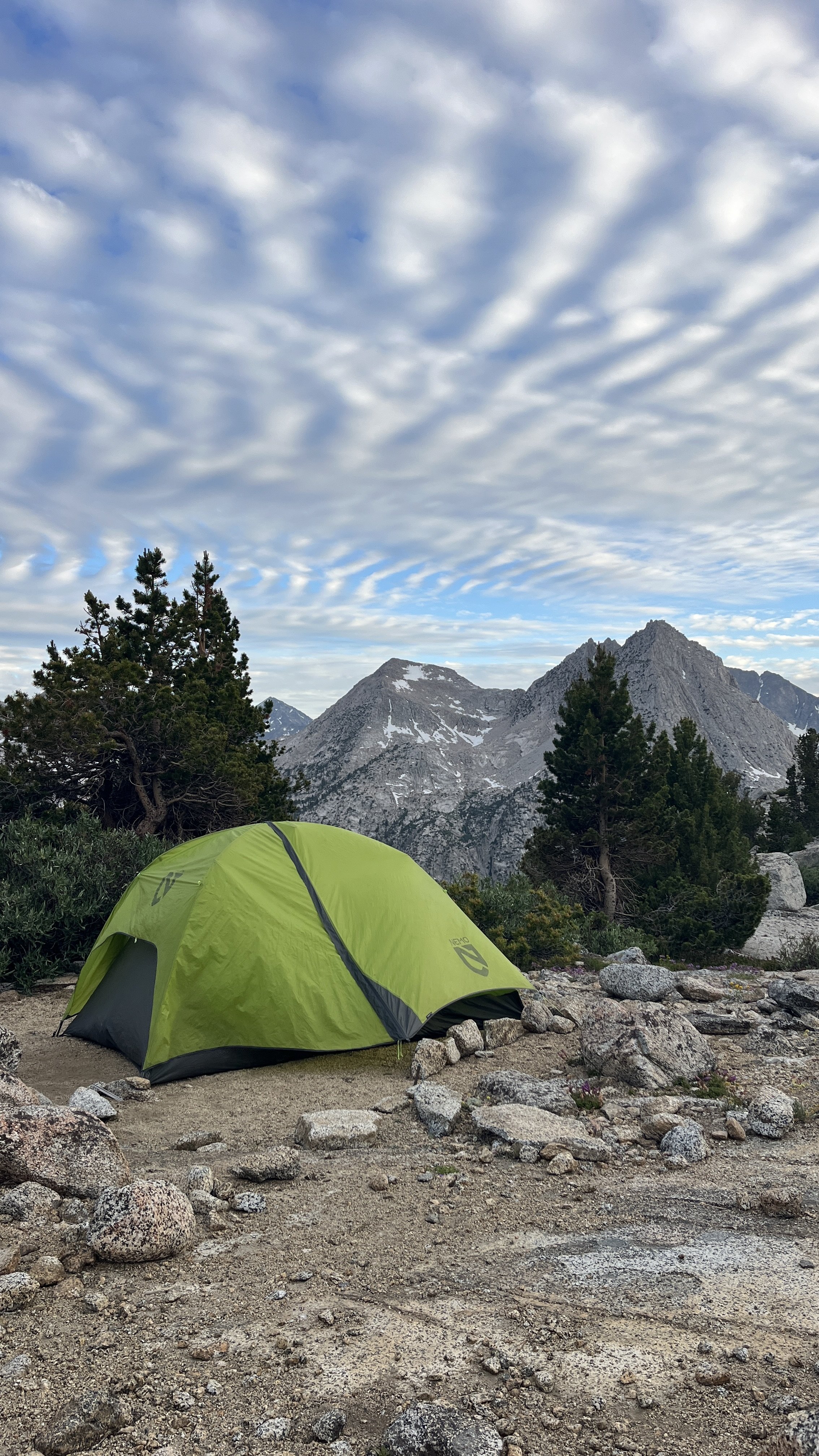
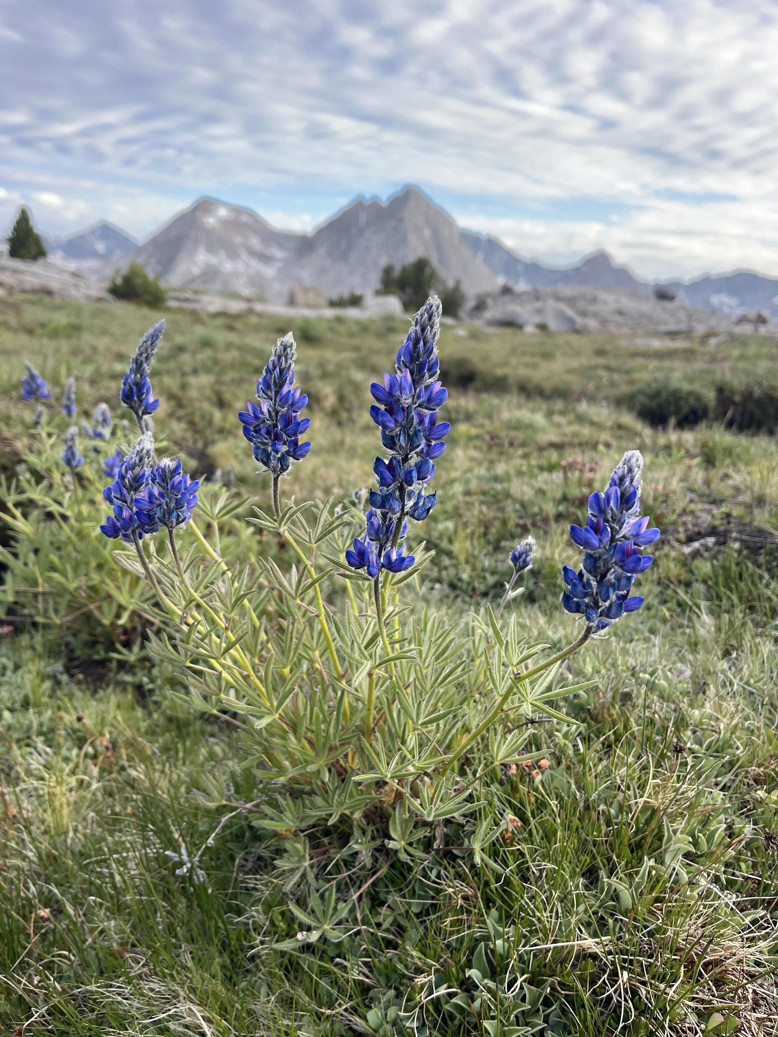
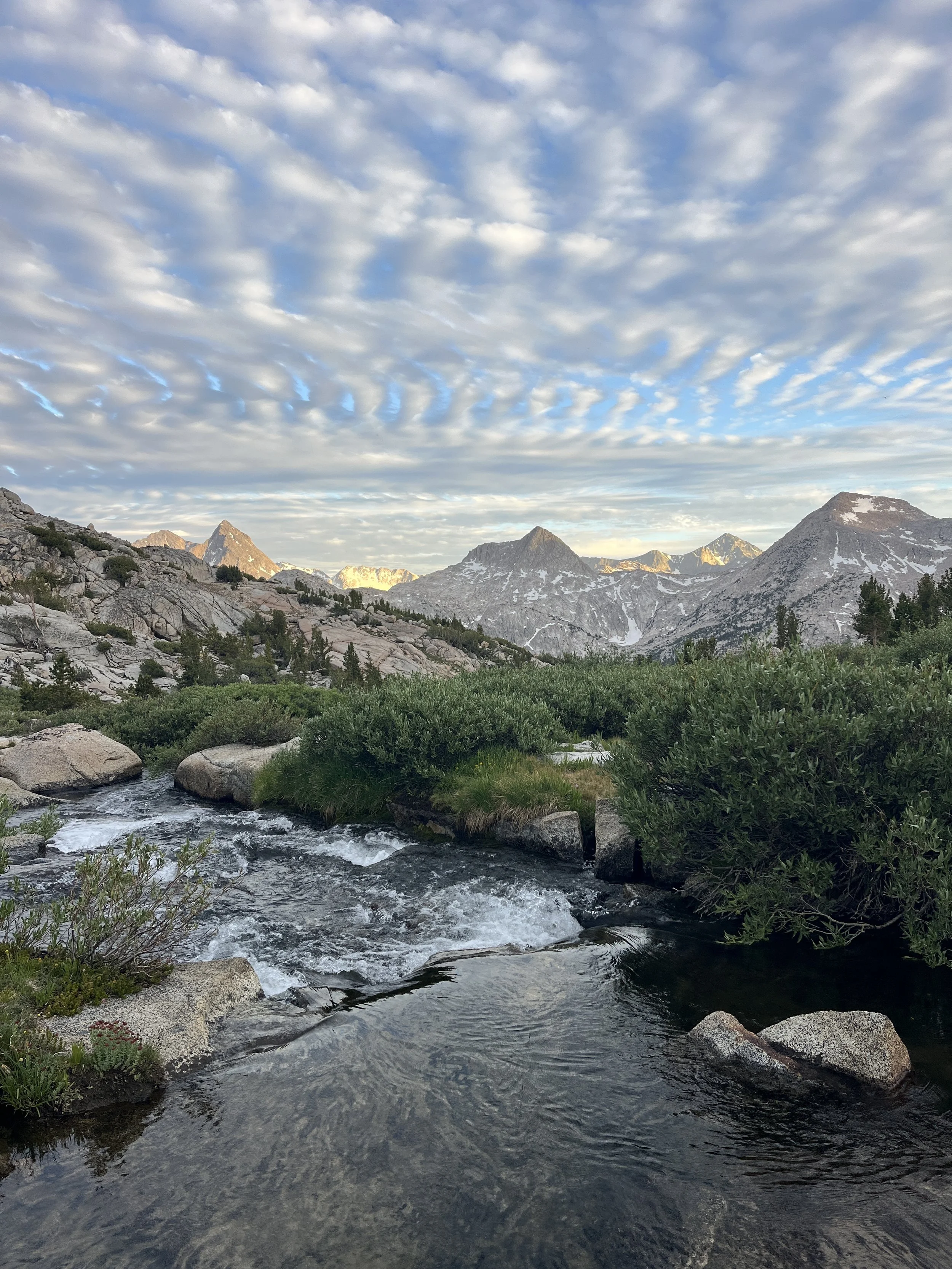
The next morning we got up with the sun, quickly packed camp, and started making our way back toward Lamarck Col. We passed the father and son from the day before, exchanged a quick good morning, and continued hopping across the boulder fields at the base of the pass. Before we started our ascent we encountered a tent right on the edge of the lake in some grass (a big etiquette no-no) and Tanner couldn’t help making a condescending “Nice Campsite!” comment as we passed. A bit further on we encountered a pair that asked us if we could guide them to the pass as they were a bit lost. We said sure to the unusual request and led the charge. I think Lamarck Pass gets a reputation for being intimidating because it's “cross-country” travel and often holds snow, but in reality there are multiple viable use trails to the top, and the route is fairly intuitive once you're on it.
The rest of the hike out was scenic and uneventful. We made our obligatory stop at Mahogany Smoked Meats on the drive home and, surprisingly, encountered little Fourth of July traffic on the way back to San Diego. It's become a tradition for us to trade the Independence Day beach crowds for the solitude of America's best idea: our national parks. Cheers to 250 years of the American experiment!